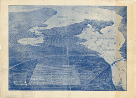
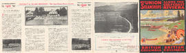
Bird's eye view of Vancouver, B.C.
- AM1594-: MAP 747-: LEG1327.8
- Part
- 1907
Part of City of Vancouver Archives technical and cartographic drawing collection
Part contains an illustrated oblique view of Vancouver showing steamship lines, bridges, beaches, major roads, and the location and block numbers of East Vancouver Heights.


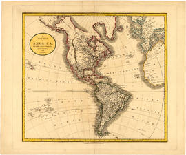
![Americae sive novi orbis, no va descriptio : [the new world, commonly called America]](/uploads/r/null/7/f/9/7f9d7722fd935fbaf645638c66c9dc9500f9c329d254d3c44493af54d80e6483/b93f8b7c-cc81-45d5-b814-14796fa7011e-MAP667_142.jpg)

![[Aerial map of Greater Vancouver]](/uploads/r/null/5/6/0/560c4a977bf4bd23ded38e3e8d0c471a86a303d135869c5e459d1977eeed33a6/f660f804-da91-422b-9622-82ae60a89bbe-MAP358_142.jpg)