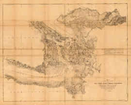
- AM1594-: MAP 50
- Item
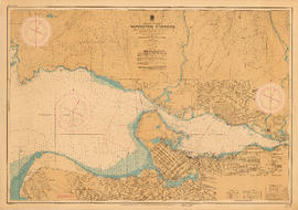
- Mar. 6, 1893
Part of City of Vancouver Archives technical and cartographic drawing collection
Item is a sheet with three nautical charts. The main chart depicts Burrard Inlet from Atkinson Point [Point Atkinson] in the west to the "townsite of Port Moody" in the east. The inset charts depict Vancouver Harbour and the Second Narrows.

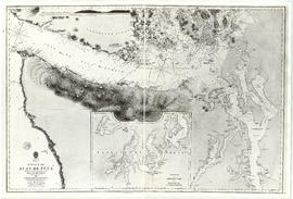
![[Cross sections of ocean floor between Vancouver Island and mainland of British Columbia]](/uploads/r/null/c/a/6/ca687b43e46696a0c1d9223ef1e80ebe50bba0ea48092c458b525fc90f7b517c/7d458083-64ae-4682-be03-8fd1211e38c9-MAP8b_142.jpg)