Title and statement of responsibility area
Title proper
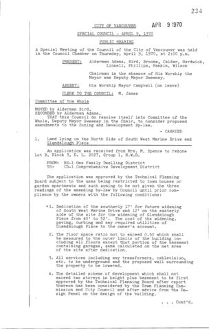
Special Council Meeting Minutes : Apr. 9, 1970
General material designation
- Textual record
Parallel title
Other title information
Title statements of responsibility
Title notes
Level of description
File
Reference code
Edition area
Edition statement
Edition statement of responsibility
Class of material specific details area
Statement of scale (cartographic)
Statement of projection (cartographic)
Statement of coordinates (cartographic)
Statement of scale (architectural)
Issuing jurisdiction and denomination (philatelic)
Dates of creation area
Date(s)
-
Apr. 9, 1970 (Creation)
- Note
- Meeting date. May include attached reports with different dates.
Physical description area
Physical description
1 folder of textual records (8 pages)
Publisher's series area
Title proper of publisher's series
Parallel titles of publisher's series
Other title information of publisher's series
Statement of responsibility relating to publisher's series
Numbering within publisher's series
Vol. 103, pp. 234-241
Note on publisher's series
Archival description area
Name of creator
Custodial history
Scope and content
Vol. 103, pp. 234-241
Public Hearing - land lying on the north side of South West Marine Drive and Glendalough Place -- pp. 234-235
Public Hearing - land on the south side of 10th Avenue between Commercial Drive and Victoria Drive -- pp. 235-236
Public Hearing - land on the south side of 10th Avenue between Commercial Drive and Victoria Drive -- pp. 236-237
Public Hearing - land on the south west corner of 48th Avenue and Oak Street -- pp. 237-238
Public Hearing - to amend schedule G of the Zoning and Development By-law - special sign control -- pp. 238-240
Public Hearing - lands lying on the east side of Kerr Street south of 54th Avenue i.e. for a distance of approximately 1650 feet east of Kerr Street and approximately 1900 feet south of 54th Avenue -- p. 240
Public Hearing - irregular shaped areas of land lying generally south of 49th Avenue and bounded partially on the east by Boundary Road and partially on the west by Tyne Street -- pp. 240-241