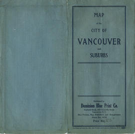
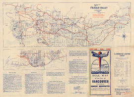
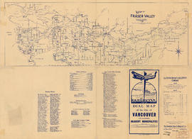
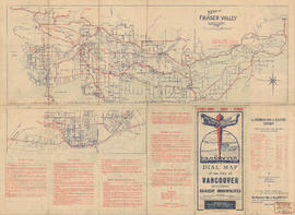
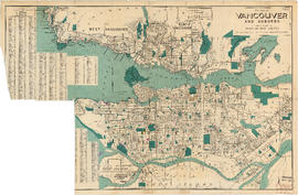
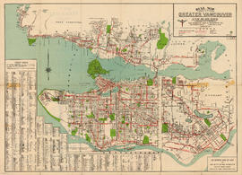
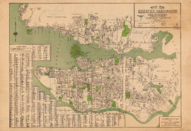
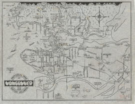
Wrigley's new revised map of Vancouver
- AM738-S1-: MAP 695-: LEG1800.017
- Part
- 1947
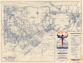
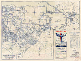
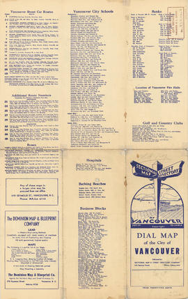
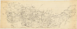
Part is the front side of a map, which shows proposed roads, street car lines, bus lines, railways, electric railways, golf courses, block numbers, parks, hospitals and schools


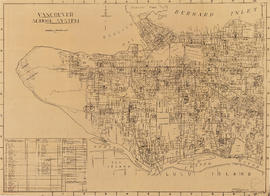


![Part of D.L. [District Lot] 185](/uploads/r/null/d/0/2/d020a729408b2c6caa3fc78d706b687230bf429554ef426ba4dc104ce23d48d6/dbf9611e-8fed-4827-b82a-7e29f4922fc3-MAP904_142.jpg)