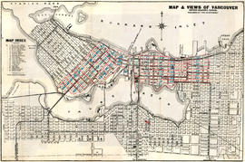
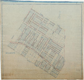
A souvenir and correct map of the location of all the fair buildings of the Vancouver Exhibition
- AM1594-: MAP 587-: LEG1341.4
- Part
- 1915
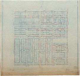
Part of City of Vancouver Archives technical and cartographic drawing collection
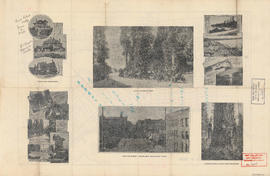
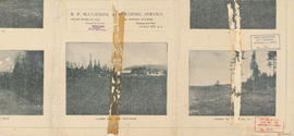
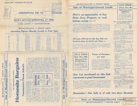
Part contains text promoting the Western Canada Fair, Vancouver, and British Columbia.


![Vancouver, B.C., the Pacific coast terminus of the C.P.R. [Canadian Pacific Railway]](/uploads/r/null/e/2/c/e2cdc004f3cf462100ed2ef053aa6087887b3f3200917cd5fba6292afb3b2d2d/bfcde3fa-32d7-4d08-86e5-ecf70c6f8388-LEG1340_142.jpg)