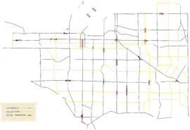
Map of Vancouver, British Columbia
- COV-S365-: LEG1361.02-: LEG1361.02.1
- Part
- [ca. 1930]
Part of City of Vancouver fonds
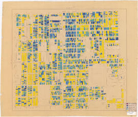
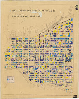
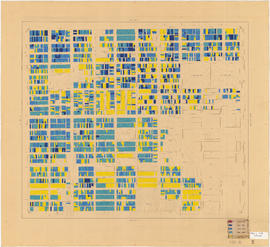
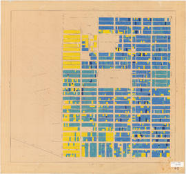
Part contains a map of Vancouver showing railways, bus lines, fire halls, hospitals, libraries, schools, districts, postal block numbers, and distances from City Hall. Map has been annotated with colour over some areas, and the total number of lots and City lots within those areas is noted.


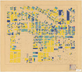


![Government precinct : property ownership and land use [verso]](/uploads/r/null/8/4/e/84e50f799a71410a2996d142e70d69b0501bed32cab066d2243f6ea274574ba6/c904bd24-bb46-4ce9-a065-ceb00e305b93-LEG1200_142.jpg)