Sheet H : Alexandra Street to Cambie Street and Fifteenth Avenue to Twenty-seventh Avenue
- COV-S303-MAP 343-: MAP 343.33
- Item
- [ca. 1925], with revisions to Nov. 26, 1943
Part of City of Vancouver fonds
Item is a section showing the area from Alexandra Street to Cambie Street and Fifteenth Avenue to Twenty-seventh Avenue. Includes streets, roads, blocks, lots, legal descriptions, parks, hospitals and schools. Section is annotated to show tax sale property for sale, property with no water, street widening and drainage, replotting, reserved land for schools, reserved land for parks, sundry land, capital assets not including schools and parks, schools, and parks, as applicable.
Vancouver (B.C.). Office of the City Engineer


![[A baseball game at Recreation Park at Smithe Street and Homer Street]](/uploads/r/null/3/b/3bdbc7fce9633069d75ecf2828ef2d9514ddced9c50ee746e9b9f5f130f59530/b60c68a4-98fb-4191-a6dd-437754fde175-A71017_142.jpg)
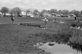
![[Construction of the Dedicated Fire Protection System Kitsilano extension in Vanier Park]](/uploads/r/null/b/5/b5cf3880be1cdc714e93bb9ed0fd9cd2e3c1eda6bc065aba1212da232c58acea/c546f069-a0a0-4817-97e6-d4e3e9f21598-CVA1376-43_142.jpg)
![[Construction of the Dedicated Fire Protection System Kitsilano extension in Vanier Park]](/uploads/r/null/6/5/654eb969bf0acc791a1f74b8115765c2b5f26111109b0493cb9b829d1a62bb5e/db3f3aee-c718-4c66-9712-5523a45f3578-CVA1376-43_142.jpg)
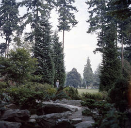
![Meditation Park [north foot of Nanaimo St.]](/uploads/r/null/8/f/8f126b069f5fd3c8ccae452480249216cb9b576ca04bc7272ae8ee8c51262a44/8cdb99c4-2af8-45be-8907-e6c2fc5e513e-A21786_142.jpg)