Print preview Close

Showing 1079 results

Archival description
Vancouver (B.C.). Engineering Services
Print preview View:

1031 results with digital objects Show results with digital objects

Open Data Catalogue : railway : May 2013
Open Data Catalogue : road ahead data package : May 2013
Open Data Catalogue : sewer network data package : May 2013
Open Data Catalogue : water (fire) hydrants : May 2013
Open Data Catalogue : bikeways data : August 2013
Open Data Catalogue : city streets data package : August 2013
Open Data Catalogue : greenways data package : August 2013
Open Data Catalogue : disability parking : August 2013
City of Vancouver, British Columbia
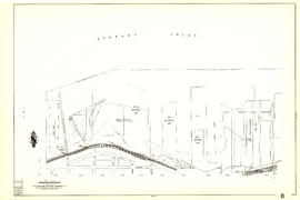
Sheet 6 : Nicola Street to Beatty Street and English Bay Beach to Georgia Street
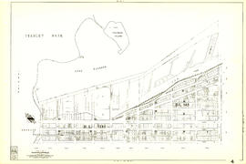
Sheet 8 : Main Street to Clark Drive and Alexander Street to Burrard Inlet
Sheet 63 : Carnarvon Street to Cypress Street and Forty-first Avenue to Thirty-third Avenue
Sheet 4 : Chilco Street to Burrard Street and Robson Street to Coal Harbour
Sheet 23 : Balaclava Street to Maple Street and Third Avenue to English Bay
Sheet 27 : University Endowment Lands and Drummond Drive to Camosun Street and Fourteenth Avenue ...
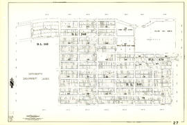
Sheet 27 : University Endowment Lands and Drummond Drive to Camosun Street and Fourteenth Avenue to Fourth Avenue
Sheet 30 : Maple Street to Oak Street and Fourteenth Avenue to Third Avenue and False Creek
Sheet 36 : Rupert Street to Carlton Avenue and Twenty-second Avenue to Grandview Highway
Sheet 43 : East Boulevard to Oak Street and Laurier Avenue to Fourteenth Avenue
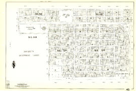
Sheet 45 : Discovery Street to Blenheim Street and King Edward Avenue to Fourteenth Avenue
Sheet 52 : Inverness Street to Nanaimo Street and Thirty-second Avenue to Twenty-second Avenue
Sheet 66 : Musqueam Indian Reserve to Balaclava Street and Forty-ninth Avenue to Forty-first Avenue
Sheet 71 : Cypress Street to Oak Street and Fifty-seventh Avenue to Forty-ninth Avenue
Sheet 74 : Inverness Street to Nanaimo Street and Sixty-first Avenue to Forty-ninth Avenue
Sheet 75 : Nanaimo Street to Kerr Street and Bobolink Avenue to Forty-ninth Avenue
Sheet 80 : Tipping Road, Crompton Street and Inverness Street to Gladstone Street and Mitchell Ro...
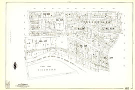
Sheet 80 : Tipping Road, Crompton Street and Inverness Street to Gladstone Street and Mitchell Road to Sixty-first Avenue
Sheet 81 : Main Street to Inverness Street and Southeast Marine Drive to Fifty-seventh Avenue
Sheet 87 : Barnard Street to Heather Street and Beckwith Road to Seventy-fifth Avenue
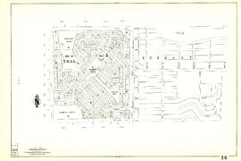
Plan showing vicinity of Fisher Case, Nov 9th, 1949
[False Creek basin]
[False Creek basin]
Results 1051 to 1079 of 1079