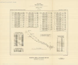
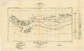
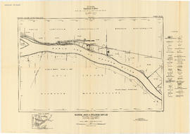
- AM1594-: MAP 684b
- Item
- [186-?], [copied 195-?]
Part of City of Vancouver Archives technical and cartographic drawing collection
Item is a copy of a portion of a British Admiralty hydrographic survey of Burrard Inlet. The copied portion shows the area from First Narrows to just east of Capital Hill. The map shows soundings in the Inlet, as well as indications of topography of the surrounding shoreline areas.