Item is a section showing the area from Knight Street to Slocan Street and Eighteenth Avenue to Twenty-ninth Avenue. Includes streets and roads, blocks, lots, legal descriptions, railways, parks and schools. Some annotations have been made in pencil. Map is hand coloured to show tax sale property for sale, property with no water, street widening and drainage, replotting, reserved land for schools, reserved land for parks, sundry land, capital assets not including schools and parks, schools, and parks. Map is hand coloured to show tax sale property for sale, property with no water, street widening and drainage, replotting, reserved land for schools, reserved land for parks, sundry land, capital assets not including schools and parks, schools, and parks, as applicable.
Vancouver (B.C.). Office of the City Engineer


![[Sheet 56 : Doman Street and Joyce Street to Boundary Road and Forty-ninth Avenue to Kingsway]](/uploads/r/null/5/e/5ee0f6b78ce9f3b0e0e39795d6220cd37d587872bad7b41b67f4d29c7cb49d4c/f8a321d6-ea4f-4e1f-85da-6d12e149ea85-MAP339_142.jpg)


![[Sheet 58 : Inverness Street to Nanaimo Street and Forty-ninth Avenue to Forty-first Avenue]](/uploads/r/null/5/5/55825f5529a2ab4a1b9c04e6d086f342c86830cc9828262a5f7b22eab255b346/4ce8baf7-a89b-4c24-bec2-d1a45477ca67-MAP339_142.jpg)

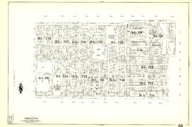
![[Sheet 59 : Quebec Street to Inverness Street and Forty-seventh Avenue to Thirty-seventh Avenue]](/uploads/r/null/0/1/015bc0f349dc1228105d4cdd774354b22820bad860e0a822b707d62c3eb343f5/b9fe9076-66e5-4167-b081-e65e8b625778-MAP339_142.jpg)


![[Sheet 6 : Nicola Street to Beatty Street and English Bay Beach to Georgia Street]](/uploads/r/null/f/2/f2effc97084427c0bd73bae3566d3ad910caaa6e7fb3e5ed9f3ece81bd2ac0a1/f2cc48a6-1195-4dd8-8227-71d36d1791bb-MAP339_142.jpg)

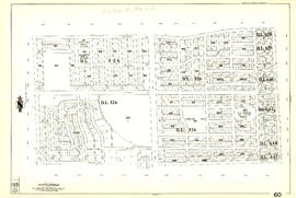
![[Sheet 60 : Oak Street to Quebec Street and Forty-sixth Avenue to Thirty-seventh Avenue]](/uploads/r/null/b/5/b5e1b3fe1dda55eb9d0029fcbe47cb6048a48720c1ad1f7b1897640d35203319/e097b4d6-7a5c-41bc-9ca5-1b9e7b57eccc-MAP339_142.jpg)

![[Sheet 61 : Cypress Street to Oak Street and Forty-first Avenue to Thirty-third Avenue]](/uploads/r/null/e/c/ecb192d35087c4f7d7713e1578ae0bc7f934c92ab822401e070cf7a4cf61fdf3/1cfa7241-9da6-4626-aedb-d6bfa44f7d5e-MAP339_142.jpg)

![[Sheet 62 : Cypress Street to Oak Street and Forty-ninth Avenue to Forty-first Avenue]](/uploads/r/null/7/c/7c5b951f94dee2cfd6a1b82979539f15bd77424ef36377f8e2db0e7bfb4aae10/78c561eb-987a-4aef-9574-18f261df2111-MAP339_142.jpg)
![[Sheet 63 : Carnarvon Street to Cypress Street and Forty-first Avenue to Thirty-third Avenue]](/uploads/r/null/4/3/43f21afad72cf7d769c23be0a8b778e288335df1801a3b9d42bace4e74c8ea1a/64b6fa50-ede8-4087-81fc-6b7da9b7dfd1-MAP339_142.jpg)

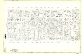
![[Sheet 64 : Balaclava Street to Cypress Street and Forty-ninth Avenue to Forty-first Avenue]](/uploads/r/null/6/d/6d41bb5db0383d13fdc92e51638fb1e2c9ac8e11a664fd9070ee16be3212d8f5/07989ba9-42ff-4d9a-ac56-a25405a93120-MAP339_142.jpg)
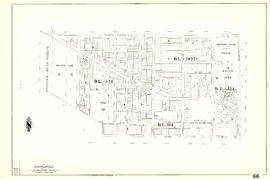
![[Sheet 65 : Camosun Street to Carnarvon Street and Forty-first Avenue to Thirty-third Avenue]](/uploads/r/null/4/0/407c98f21cf3d2ce519b79e8a505fd6a325c965dc1550cdbc00d96b7bc7e5e3d/04862e6e-5125-4593-84de-c80135fd76ce-MAP339_142.jpg)


![[Sheet 7 : Burrard Street to Main Street and Georgia Viaduct to Burrard Inlet]](/uploads/r/null/c/d/cd235086cbaf81487b8784fb32b6ef913f4fe27305678cd1961adf506324c250/8f72f6bd-1013-48ad-a56c-e6269cb6f5a8-MAP339_142.jpg)


![[Sheet 70 : Macdonald Street to Cypress Street and Fifty-seventh Avenue to Forty-ninth Avenue]](/uploads/r/null/f/9/f92d773f16070e3762b2b8519c7993087e55cec394d3c593367dd2f160a3e9ad/b01f6a8d-18a1-4872-b084-475fd79e81da-MAP339_142.jpg)
![[Sheet 71 : Cypress Street to Oak Street and Fifty-seventh Avenue to Forty-ninth Avenue]](/uploads/r/null/2/e/2e8486f7c4713b8b62d288d2b813433a3a829f9e8a649c4bcf57b64c1e37f64a/84f27baf-7943-4b5e-8361-8b72443ed274-MAP339_142.jpg)


![[Sheet 72 : Oak Street to Quebec Street and Fifty-eighth Avenue to Forty-sixth Avenue]](/uploads/r/null/d/9/d95b8e85252fc5bb5a704534795819328aaac0251d8659e64190e79cd61b3037/43d93b13-ddc2-4f78-9ba2-07fbbcf3baa9-MAP339_142.jpg)
