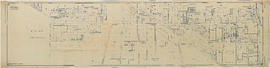
![General plan - sheet 1 [Alma Street to English Bay to Drummond Drive to Third Avenue]](/uploads/r/null/d/1/c/d1c93512410ddc8402dade10f933892f0acf5804344868378d8783cb6d7c1e16/e7fb27c2-1065-4ce6-b13b-e6c4bd0cc18c-LEG1153_142.jpg)
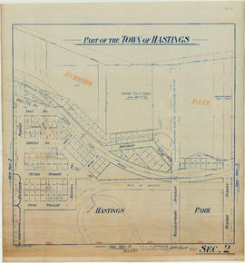
![General plan - sheet 2 [Alma Street to Second Avenue to Drummond Drive to Ninth Avenue]](/uploads/r/null/6/a/a/6aa9ab32dffb6bed1b9bc97d3109370e314fa8e7d9f87ce5916594c06a11b6a8/566584a0-44bd-41c3-8c99-fcc6794b6c75-LEG1153_142.jpg)
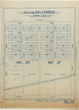
![General plan - sheet 3 [Alma Street to Ninth Avenue to Blanca Drive to Sixteenth Avenue]](/uploads/r/null/e/d/9/ed9648961062005d47715d355ce9f17dadff65f2810231630f07f41c407efaa4/2280ab94-a303-4e6a-af74-dd254ef0868f-LEG1153_142.jpg)


Title and statement of responsibility area
Title proper
Sectional maps
General material designation
- Cartographic material
Parallel title
Other title information
Title statements of responsibility
Title notes
- Source of title proper: Title taken from maps.
Level of description
Series
Reference code
Edition area
Edition statement
Edition statement of responsibility
Class of material specific details area
Statement of scale (cartographic)
Scale [ca. 1:1200]
Statement of projection (cartographic)
Statement of coordinates (cartographic)
Statement of scale (architectural)
Issuing jurisdiction and denomination (philatelic)
Dates of creation area
Date(s)
Physical description area
Physical description
82 maps ; 110 x 82 cm or smaller
Publisher's series area
Title proper of publisher's series
Parallel titles of publisher's series
Other title information of publisher's series
Statement of responsibility relating to publisher's series
Numbering within publisher's series
Note on publisher's series
Archival description area
Name of creator
Administrative history
As early as 1887 (Bylaw #32), there is evidence that land surveying was among the functions to be considered and reported by the Board of Works. For the majority of its long and consistent existence, the Surveys Branch may be found as an independent branch within the Engineering Department/Engineering Services, and it generally reported to the Deputy City Engineer.
Custodial history
Scope and content
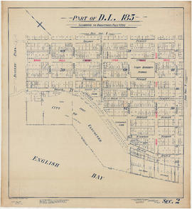
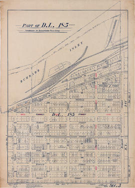
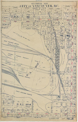
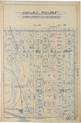
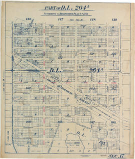
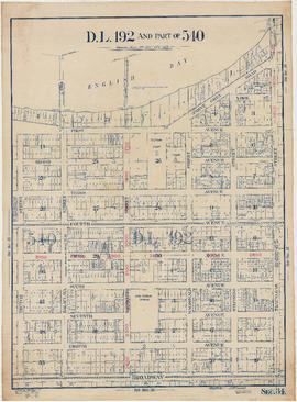
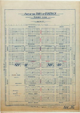
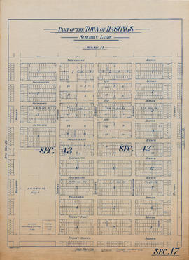
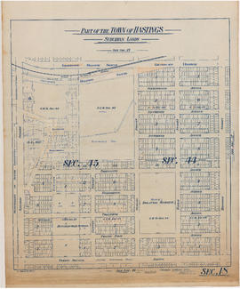
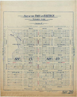
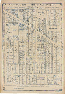
Series contains sectional maps of Vancouver (82 large maps of what would have been a complete set of 129) indicating legal descriptions of all lots, and a few details such as railway lines, some high water marks, reservoir sites, etc. Consult the key plan at Map Cabinet location 268, drawer 4 (top), for the associated sheet numbers. Missing are the following maps. South Vancouver: 1, 4, 9, 11, 13, 19, 20, 25, 31, 32, 41. "Old" Vancouver: 5, 6, 13, 14, 19, 21, 23, 24, 26, 27, 30, 31, 32, 33, 36. Point Grey: 1, 2, 3, 4, 10, 11, 12, 13, 14, 16, 17. Hastings Townsite: 4, 6, 7, 8, 9, 11, 12, 13, 19, 21. Arranged alphabetically into regional groupings: "old" City of Vancouver, Hastings Townsite, Point Grey, and South Vancouver.
Notes area
Physical condition
Immediate source of acquisition
Transferred from Surveys Branch about 1997.
Arrangement
Language of material
Script of material
Location of originals
Availability of other formats
Restrictions on access
Terms governing use, reproduction, and publication
Finding aids
Item list available.
Associated materials
Accruals
No further accruals expected.