Series S303 - Properties Division registers, journals and cash books

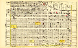
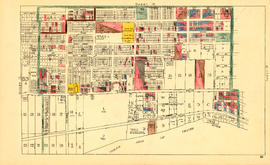
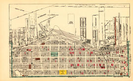
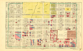
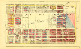
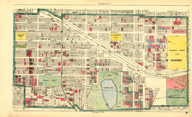
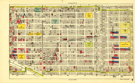
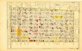
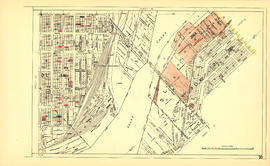
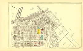
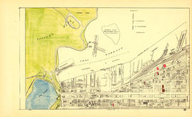
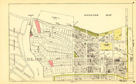
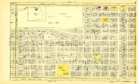
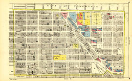
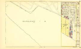
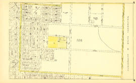
Sheet 16 : Maple Street to Oak Street and False Creek to Sixteenth Avenue Sheet 17 : Trutch Street to Maple Street and Fourth Avenue to Sixteenth Avenue Sheet 18 : Trutch Street to Maple Street and English Bay to Third Avenue Sheet 15 : Ash Street to St. George Street and Fifty-eighth Avenue to Marine Drive Sheet 16 : St. George Street to Argyle Street and Fifty-eighth Avenue to Fraser River Sheet 17 : Argyle Street to Vivian Street and Sixty-second Avenue to Kent Street Sheet L : Trafalgar Street to Granville Street and Nanton Avenue to Thirty-eighth Avenue Sheet M : Granville Street to Kersland Drive and Twenty-seventh Avenue to Thirty-eighth Avenue Sheet 10 : Clark Drive to Slocan Street and Burrard Inlet to Triumph Street Sheet 11 : Carrall Street to Clark Drive and waterfront to Keefer Street Sheet 12 : Ontario Street to Clark Drive and Keefer Street to Second Avenue Sheet 13 : Ontario Street to Clark Drive and First Avenue to Sixteenth Avenue Map of City of Vancouver, British Columbia [index map] Plan of district lot boundaries, City of Vancouver, B.C. Sheet 1 : Slocan Street to Boundary Road and Triumph Street to Burrard Inlet Sheet 2 : Slocan Street to Boundary Road and Charles Street to Triumph Street Sheet 3 : Slocan Street to Boundary Road and Seventh Avenue to Charles Street Sheet 4 : Slocan Street to Boundary Road and Seventh Avenue to Seventeenth Avenue Sheet 5 : Slocan Street to Boundary Road and Seventeenth Avenue to Twenty-ninth Avenue Sheet 6 : Knight Street to Slocan Street and Eighteenth Avenue to Twenty-ninth Avenue Sheet 7 : Clark Drive to Slocan Street and Seventh Avenue to Eighteenth Avenue Sheet 8 : McLean Drive to Slocan Street and William Street to Seventh Avenue Sheet 9 : Clark Drive to Slocan Street and Triumph Street to Charles Street Sheet 14 : Main Street to Knight Street and Fifteenth Avenue to King Edward Street Sheet 15 : Oak Street to Main Street and False Creek to Sixteenth Avenue Sheet 19 : Maple Street to Richards Street and Drake Street to Third Avenue Sheet 20 : Granville Street to Ontario Street and Robson Street to Sixth Avenue Sheet 21 : Burrard Street to False Creek and waterfront to Robson Street Sheet 22 : Stanley Park to Burrard Street and waterfront to Robson Street Sheet 23 : Stanley Park to Granville Street and Robson Street to False Creek Sheet A : University Endowment Lands to Imperial Street and waterfront to Fifth Avenue Sheet B : Imperial Street to Trutch Street and waterfront to Fourth Avenue Sheet C : University Endowment Lands to Imperial Street and Fourth Avenue to Sixteenth Avenue Sheet D : Imperial Street to Trutch Street and Fourth Avenue to Sixteenth Avenue Sheet E : University Endowment Lands to Wallace Street and Sixteenth Avenue to Twenty-seventh Avenue Sheet F : Wallace Street to Trafalgar Street and Sixteenth Avenue to Twenty-seventh Avenue Sheet G : Trafalgar Street to Granville Street and Sixteenth Avenue to Nanton Avenue Sheet H : Alexandra Street to Cambie Street and Fifteenth Avenue to Twenty-seventh Avenue Sheet J : University Endowment Lands to Wallace Street and Twenty-ninth Avenue to Thirty-eighth A... Sheet K : Wallace Street to Trafalgar Street and Twenty-seventh Street to Thirty-eighth Avenue Sheet N : Musqueam Reserve to Wallace Street and Thirty-eighth Avenue to Forty-ninth Avenue Sheet O : Holland Street to Elm Street and Thirty-eighth Avenue to Forty-ninth Avenue Sheet P : Trafalgar Street to Granville Street and Thirty-ninth Avenue to Thirty-seventh Street Sheet Q : Churchill Street to Cambie Street and Thirty-eighth Street to Forty-ninth Avenue Sheet S : Musqueam Reserve to Macdonald Street and Forty-ninth Avenue to Fraser River Sheet T : Marine Crescent to Granville Street and Forty-ninth Avenue to Sixty-first Avenue Sheet U : Churchill Street to Cambie Street and Forty-ninth Avenue to Park Drive Sheet W : Fraser River to French Street and Fifty-ninth Avenue to Seventy-first Avenue Sheet X : Marine Drive to Ash Street and Fifty-ninth Avenue to Seventy-first Avenue Sheet Z : Milton Street to Heather Street and Seventy-second Avenue to Fraser River and sheet v: ...
Results 1 to 50 of 151 Show all

Title and statement of responsibility area

Title proper

Properties Division registers, journals and cash books

General material designation

  • Textual record

Parallel title

Other title information

Title statements of responsibility

Title notes

  • Source of title proper: Title based on form of records.

Level of description

Series

Reference code

COV-S303

Edition area

Edition statement

Edition statement of responsibility

Class of material specific details area

Statement of scale (cartographic)

Statement of projection (cartographic)

Statement of coordinates (cartographic)

Statement of scale (architectural)

Issuing jurisdiction and denomination (philatelic)

Dates of creation area

Date(s)

Physical description area

Physical description

2.83 m of textual records

Publisher's series area

Title proper of publisher's series

Parallel titles of publisher's series

Other title information of publisher's series

Statement of responsibility relating to publisher's series

Numbering within publisher's series

Note on publisher's series

Archival description area

Name of creator

()

Administrative history

In the early years the management of City-owned properties was the responsibility of the Office of the Assessment Commissioner. By 1912 the Land Purchasing and Claims Department was established to take over the function. The names for this unit fluctuated, e.g. by 1932 it was the Land Sales Department and by 1936 the Lands and Rentals Department. By the late 1940s the functions included land sales, rentals, building repairs, land subdivisions, and insurance; by the 1948 expansion additional responsibilities were land purchasing, industrial development, lot clearing (transferred from City Engineer), and wartime housing (159-E-6 reel 1 file 1). On July 27, 1957 City Council passed the recommendation of the newly formed Board of Administration (1956) that the following units would become part of a new Finance Department headed by the City Comptroller: City Comptroller's Office, Accounting, Addressograph and Multilith, Assessment, Internal Audit, License and Business Tax, Motor Vehicle Inspection, Personnel and Payroll, Property and Insurance [referred to as the Properties Division], Purchasing and Supply, Revenue Collection, Tabulating, and Treasurer. In 1978 the Properties Division became part of the Civic Buildings Department, which was reconfigured as the Housing and Properties Department in 1989. With the major City reorganization of 1995, the Housing and Properties Department became Real Estate Services, under the broad financial unit called Corporate Services.

Custodial history

Scope and content

Series consists of registers (insurance, tax sale properties, and title deeds), journals (tax sales and rentals, wartime housing), cash books (tax sales and rentals, mortgages and loans, corporation land sales, Better Housing Scheme), as well as soldiers' housing accounts, Better Housing scheme ledger account, tax sale properties (assessed values), and a ledger recording the sale of city lands.

Notes area

Physical condition

Immediate source of acquisition

Arrangement

Language of material

Script of material

Location of originals

Availability of other formats

Restrictions on access

Terms governing use, reproduction, and publication

Finding aids

File list available.

Associated materials

Related materials

Accruals

No further accruals expected.

Alternative identifier(s)

Standard number area

Standard number

Access points

Subject access points

Place access points

Name access points

Genre access points

Rights area

Accession area

Related subjects

Related people and organizations

Related places

Related genres