Population

Taxonomy

Code

Scope note(s)

Source note(s)

Display note(s)

Hierarchical terms

Population

Equivalent terms

Population

Associated terms

Population

12 Archival description results for Population

12 results directly related Exclude narrower terms

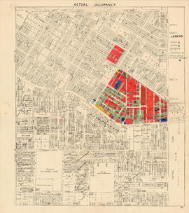
Map of Vancouver Unemployment and Relief [BC]

The map shows relief and elevations of Vancouver. It depicts streets, parks, and railways, and residential and industrial areas.
The annotations in black ink trace parts of the map: names, railways, and the coast line. The amendments also show Cases and Persons of Domiciled Residents in the Vancouver Area, in May 1934. The map also lists statistics of approximate Cases and Persons of Transient Families and Single Women, and Single Homeless Men.
Pensions and Compensation statistics are also compiled for: Mothers Pensions, Old Age Pensions, War Pensions, amd Workmen's Compensation as of the population of Vancouver in 1931.
The westernmost boundary of the map is Boundary Road and the easternmost boundary is the University of British Columbia while the northernmost is the Burrard Inlet and the southernmost is Sea Island and Lulu Island.

Vancouver, British Columbia : [urban analysis maps]

Maps show land use, land slope and elevation, density of buildings, structural material of buildings, height of buildings, water supply systems, sewage systems, electric power systems, gas trunk systems, population distribution, daytime population distribution, dwelling units, schools, hospitals and doctors, land transportation, port facilities, food manufacturing, textile manufacturing, wood product manufacturing, metal product manufacturing, transportation equipment manufacturing, non-metallic mineral and chemical products manufacturing, retail and wholesale food enterprises, retail and wholesale building materials enterprises, retail and wholesale drugs, general merchandise, apparel and accessories enterprises, retail and wholesale clothing and shoes enterprises, retail and wholesale furnishing enterprises and hotels and eating places in the Greater Vancouver area (including West Vancouver, North Vancouver, Vancouver, Burnaby, New Westminster, the northern portion of Richmond and the western portion of Coquitlam). Much of the data for these maps was derived from the 1961 census of Canada.

City and District of North Vancouver

Item is a map showing the city and district of North Vancouver. It shows paved roads, gravel roads, unopened roads and a graphical depiction of the population as of 1947. A small inset map shows the position of the city of North Vancouver and the district of North Vancouver in relation to Vancouver, Burrard Inlet and West Vancouver. Annotations appear to be in J.S. Matthews' hand, noting a portion of North Vancouver as "King's Lynn".