Scarborough's New Map of British Columbia
- AM1594-: MAP 95
- Item
- 1914
Part of City of Vancouver Archives technical and cartographic drawing collection
Map of British Columbia shows railways, steamship lines, cities, and villages. The map has a detailed inset of Northern British Columbia. The map also has an index of cities, villages, post offices, and station with populations from 1911 Canadian Census. Note on tube: 7F Map of B.C.
The westernmost identifiable point on the map is Graham Island and the easternmost city is Calgary, while the northernmost is Cleveland Peninsula, and the southernmost is the Juan de Fuca Strait.


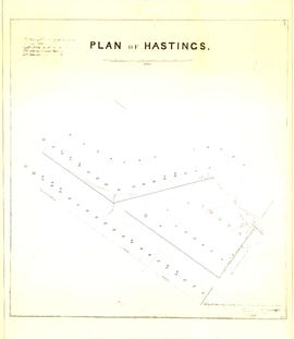
![Plan shewing [showing] division of property belonging to Major C.W. Hill](/uploads/r/null/0/f/0f72067c788c91a520f5055e8b1241e0ee99f2c20c434b03eca0174baea425dc/d22e8a25-814f-4266-99a4-24c639764600-MAP787_142.jpg)
