
Fraser River Delta, British Columbia
- AM1594-: MAP 504
- Item
- 1923
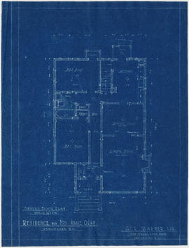
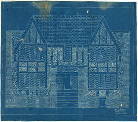
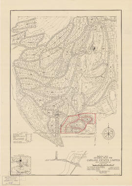
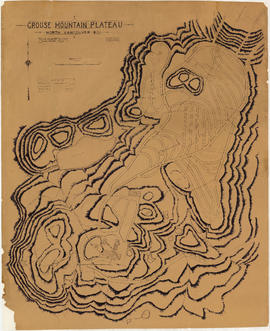
Part of City of Vancouver Archives technical and cartographic drawing collection
Item is a map of the Fraser River and Lower Mainland showing the following: roads, electric railways and tramways, bridges, churches, schools, post offices, cemeteries, international, municipal, township and city boundaries, wharves, lighthouses, triangulation stations and boundary monuments. Map gives topography of the land and shows water lines, tidal flats and intermittent streams.


![Granville [fire insurance plan]](/uploads/r/null/f/3/1/f31b2fc3e34f1b2e375aa4d1c6089d069e20e5c43e88dd4a753a0ed961acd9c9/e011f916-304f-4655-9c90-c93af236fcbb-MAP334_142.jpg)
![Granville [Townsite], B.C. Aug., 1885](/uploads/r/null/1/a/4/1a45ddd637fe3f3726748d5096017a8461446b9a013c408ed2b1666c8433e1f9/405fdc0d-6d88-41b7-937f-36cc7f51518a-MAP553_142.jpg)


![Hastings Townsite [Boundary Road to 5th Avenue to Kamloops Street (?) to 33rd Avenue]](/uploads/r/null/7/f/0/7f0fe2a27b9af4f20ad7837792af3bbb3aa93c3487024e69b14fa38144134f19/8e7a0e66-c6cc-40ca-bbac-4ea73db77437-LEG1800_142.jpg)
![Hastings Townsite [Boundary Road to English Bay to Commercial Drive to Charles Street]](/uploads/r/null/f/f/f/fff4026408c5cdfe071e2699b8a35b248daec6b4d059622bf14a49b96a15fb3c/a21002e4-eead-4468-b03a-a44b355308fa-LEG1800_142.jpg)

![Howe Sound - Burrard Inlet [Burrard Inlet portion]](/uploads/r/null/f/8/5/f8523992bb5d5e0c1391f2dea183041a54a2d2470eb4047bb29958a0d835ae95/fdf9563d-923e-468a-a494-3ff190294b91-MAP30b_142.jpg)
![Howe Sound - Burrard Inlet [Howe Sound portion]](/uploads/r/null/7/a/1/7a1896077ddc37a7e16ac2d7e42a66031e13e11a9d966c43fca06cbb56f8bd96/5edd8d92-d3cd-4663-8fdd-996b3ae7a402-MAP30a_142.jpg)


