British Columbia. Commercial map of B.C.
- COV-S346-F01-: MAP 1150
- Item
- Jan. 1, 1923
Part of City of Vancouver fonds
Item is a map depicting political and commercial information. The map shows the location of cities and towns, government agent offices, post offices, railway stations, villages, lighthouses, mining recording offices, international and inter-provincial boundaries, land district boundaries, park boundaries, hospitals, radio stations, telegraph and telephone lines, railways, roads and trails and elevations in British Columbia. An inset map shows details around southern Vancouver Island. The sheet also includes distance tables by coast, road, and rail, and an index of post offices.


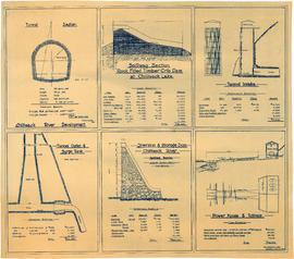


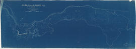
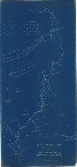
![General plan [of hydro-electric development on Green River]](/uploads/r/null/d/9/e/d9e4c58e28a2189f0c1819b9c491a0478fad0353e2100858ec1eb94c55b96eae/93fa8e5f-c3b7-4e51-802d-979b7bc07f6f-MAP1098_142.jpg)


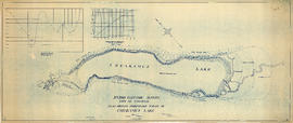
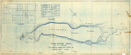


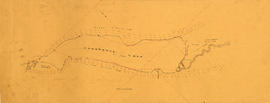
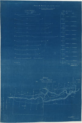
![Longitudinal section along [centre line] of dam sites at north end of Green Lake](/uploads/r/null/7/4/a/74af74789da62d7da66c012dd18dd964e4e83151ac5f0b139a53843bce6ccfe6/974ff05f-0f29-4e65-b818-c663b1a236e1-MAP1142_142.jpg)


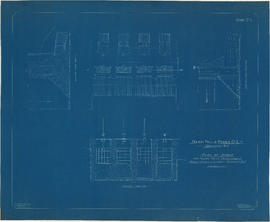
![Plan of fore bay [Nairn Falls hydro electric development]](/uploads/r/null/a/5/5/a55f94fc41cdf02e4a01434daeaf4b6c8715d61bd2a3842a95887e8c7f3371d0/29aba9ea-44a6-4453-9451-4896c8923762-MAP1099_142.jpg)