Showing 148 results
Archival description106 results with digital objects Show results with digital objects
Open Data Catalogue : local area boundary : January 2020
Open Data Catalogue : local area boundary : July 2015
Open Data Catalogue : local area boundary : July 2016
Open Data Catalogue : local area boundary : July 2018
Open Data Catalogue : local area boundary : July 2019
Open Data Catalogue : local area boundary : March 2013
Open Data Catalogue : local area boundary : May 2012
Open Data Catalogue : local area boundary : May 2013
Open Data Catalogue : local area boundary : May 2014
Open Data Catalogue : local area boundary : May 2017
Open Data Catalogue : local area boundary : November 2010
Open Data Catalogue : local area boundary : November 2013
Open Data Catalogue : local area boundary : October 2011
Open Data Catalogue : local area boundary : October 2014
Open Data Catalogue : local area boundary : October 2015
Open Data Catalogue : local area boundary : October 2016
Open Data Catalogue : local area boundary : October 2017
Open Data Catalogue : local area boundary : October 2018
Open Data Catalogue : local area boundary : October 2019
Overall Planning Division data project printouts
Overall Planning Division data project printouts
Peak hour bus volumes
Peak hour bus volumes
Planning Department film collection
Planning Department film collection
Planning Department maps, plans and drawings
Planning Department maps, plans and drawings
Planning Department miscellaneous records
Planning Department miscellaneous records
Planning Department photographs
Planning Department photographs
Planning Department reference library
Planning Department reference library
Planning Department's slide file photographs
Planning Department's slide file photographs
Planning Director's Lower Mainland Regional Planning Board files
Planning Director's Lower Mainland Regional Planning Board files
Planning operational records
Planning operational records
Redevelopment in downtown Vancouver report no. 5
Redevelopment in downtown Vancouver report no. 5

Rezoning application map (Point Grey Road)
South Shaughnessy houses - data forms and photographs
South Shaughnessy houses - data forms and photographs
Strata title conversion files
Strata title conversion files
Subdivision files
Subdivision files
Summary of preliminary report on the downtown transportation study
Summary of preliminary report on the downtown transportation study
Taken from Chilco and Nelson streets looking towards English Bay
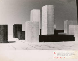
Taken from Chilco and Nelson streets looking towards English Bay

Taken from Comox and Bidwell streets looking towards English Bay

Taken from Comox and Bidwell streets looking towards English Bay

Taken from Comox and Nicola streets looking towards English Bay
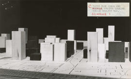
Taken from Comox and Nicola streets looking towards English Bay

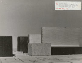
Taken from Pendrell and Broughton streets looking towards English Bay

Taken from Pendrell and Broughton streets looking towards English Bay
Urban renewal - project no. 1 maps
Urban renewal - project no. 1 maps
Urban renewal - redevelopment projects no. 1 & 2 maps
Urban renewal - redevelopment projects no. 1 & 2 maps
Wards, ward boundaries information binder
Wards, ward boundaries information binder
Yaletown information binder
Yaletown information binder
Zoning and Development By-law amendment records
Zoning and Development By-law amendment records
Results 101 to 148 of 148
- « Previous
- 1
- 2
- 3