Project 2, part of area "a" : aerial photograph
- COV-S648-F0686-: MAP 1004
- Item
- May 1962
Part of City of Vancouver fonds
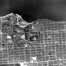
Item is a map in the form of an aerial photograph, which depicting the part of the city covered by the project: from Railway Street in the north to Prior Street in the south and from Clark Drive in the east to Main Street in the west.
Attached label indicates that the map was approved by Council Sept. 17, 1963.


![[Aerial view looking north over] Granville Island](/uploads/r/null/8/3/83f9be0a597100103c181fa4d68c68baa4a0802471126afafea3b7850103e12b/ea9e7fb6-7465-4fa6-8fa9-18923e3d9307-A49646_142.jpg)
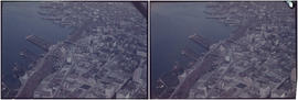
![[Aerial view looking northwest towards the Downtown waterfront]](/uploads/r/null/c/c/cc62f979c7614b3405e2bfbfcd8cf6172232e958fc2dcd17a970dbbf3d28b4d8/4699d55d-d238-4161-854b-fa983bd7d738-A71613_142.jpg)
![[Aerial view looking west over Burnaby towards Vancouver]](/uploads/r/null/3/e/3ee0bad707202c9fbcaad91d585345ec93cbe9ec0be93643a8c82dd4f323bdde/1d10f88f-abea-4b79-b07a-e27dfe5d6cd0-A71608_142.jpg)
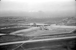
![[Aerial view of rail yard and industrial area]](/uploads/r/null/9/f/9f92989deb2b54597c6743bd67717653fc644c23b6fc48e55d2e1b9dbf6e8489/763b5a38-9eae-4b16-bedc-45ca5c32d888-A71602_142.jpg)
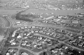
![[Aerial view of shopping centres]](/uploads/r/null/d/2/d21dcc14ced0356484b5666789f851fac68a175214b4718fae1444fec7417944/1f264270-6b68-43e6-be2e-f5b59df5d035-A71605_142.jpg)
![[Aerial view of Richmond Centre mall]](/uploads/r/null/2/e/2ee69f17353dd5eafd9d3c5d8d0ae7f95f74b5669c564c68a4c72ffafb9cda20/e0752fe7-4588-4c42-a25c-ef561bf4ed68-A71603_142.jpg)
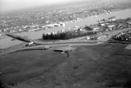
![[Aerial view over Burnaby]](/uploads/r/null/3/3/331b6e68239af4202f445b5284f51f9a4cb22c20b12ed83ca8ea7f7333df1d07/025da952-0a47-40b0-8988-6a3f80af1576-A71612_142.jpg)
![Vancouver, B.C. N. [north] W. [west] of Burrard Bridge](/uploads/r/null/c/9/b/c9bc62f0498b0fd931c76b545c4eaaf97dd1b608f5d18f97f2f49f032f47eba1/65847175-475d-4b72-b005-c9bed2aa284d-2014-055_142.jpg)
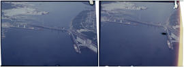
![Vancouver, B.C. N. [north] End Lion's Gate Bridge](/uploads/r/null/6/f/e/6feff36adf72e7a2b8184d907d1a619f3fb3c9d6f42e1f57abe09c79289129ac/51d5d38f-bf43-4380-8c69-4134019a091c-2014-055_142.jpg)