1858-1958 Centenary Vancouver BC
- AM1487-: MI-188
- Item
- [1958]
Part of City of Vancouver Archives sound recording and moving image collection
Item is an amateur film documenting early and present-day Vancouver. This film contains footage of the Second Narrows Highway Bridge collapse, construction of the Deas Island Tunnel and Woodward's Oakridge Shopping Centre, as well as footage of Centennial Beach Park, Fort Langley Park, Queen Elizabeth Arboretum and the Bowladrome in Kerrisdale. The exterior and interior of a Vancouver home, including footage of children at play and a Christmas celebration, are also documented. There are also images of still photographs from the early 1900s which document sunbathers at a beach, loggers at work and the Stanley Park Hollow Tree. A Pioneer Citizen certificate bearing the name Max Wiehand is also shown.


![[Aerial map of Greater Vancouver]](/uploads/r/null/5/6/0/560c4a977bf4bd23ded38e3e8d0c471a86a303d135869c5e459d1977eeed33a6/f660f804-da91-422b-9622-82ae60a89bbe-MAP358_142.jpg)


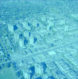
![Aerial of Vancouver [English Bay beach and West End]](/uploads/r/null/3/7/5/37553429a1ed83daaef44b903a98ec7ddd4a65d285038f73349de19e6c14d898/fb9a10d8-d7a1-439b-9712-bca0f86ce305-CVA306-17_142.jpg)


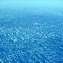
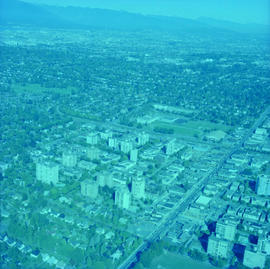
![Aerial photograph [from] Kerrisdale](/uploads/r/null/d/d/dd9c69496fd10e213c6a5ab537faf642822a8e5646b94a5dc6061c9b788ce163/f650c8e5-b576-4f7a-903c-e9e5a258e390-A72615_142.jpg)


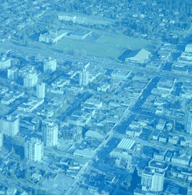
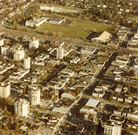
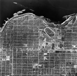
![[Aerial photograph of downtown Nanaimo B.C.]](/uploads/r/null/6/5/65cde66194e385688e218734e0d220ed5ee7ad328ef1509e29b092e2bccd990c/9b09da99-a3e3-4278-bfef-a729495916b4-A38724_142.jpg)
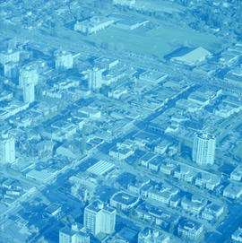
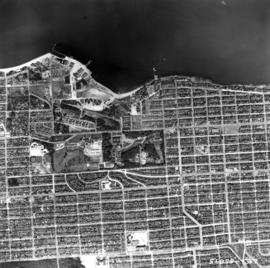
![[Aerial photograph of downtown Nanaimo B.C.]](/uploads/r/null/9/b/9b5d6fcf945972bb10cacdedfe59a314267f99d1ef992e2e700a51cbe2bc7f80/6c0c2c60-d22a-48c1-b603-cdfa6801ce19-A38723_142.jpg)
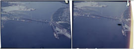
![[Aerial photograph of downtown Vancouver and Burrard Inlet waterfront]](/uploads/r/null/8/8/880f3eb359e4ba87a53dbb1528c9a52637f0890bd7fa1f026f2a2f8d55770b5f/07f1720e-3884-4019-874b-7ae1f538a5ea-A38733_142.jpg)
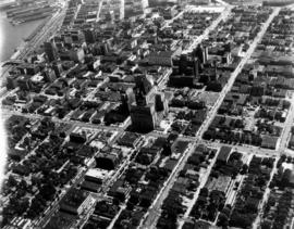
![[Aerial photograph of downtown Vancouver looking north]](/uploads/r/null/2/4/24032a0f19bc217e5bb533d7218824f932301e972f1020a352118b50afcf8a93/8e2450db-6794-4283-95a6-7641bc80437d-A69847_142.jpg)