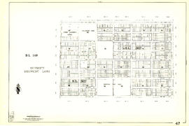
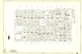
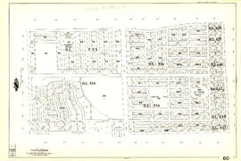
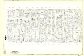
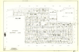
Sheet 62 : Cypress Street to Oak Street and Forty-ninth Avenue to Forty-first Avenue
- AM1594-MAP 341-: MAP 341.61
- Item
- [1962?], with revisions to Feb. 1965
Part of City of Vancouver Archives technical and cartographic drawing collection
Item is a section showing the area from Cypress Street to Oak Street and Forty-ninth Avenue to Forty-first Avenue. Includes streets, blocks, lots and legal descriptions, and the locations of parks and schools.
Vancouver (B.C.). Engineering Services