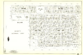
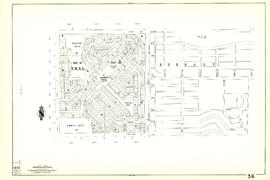
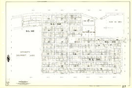
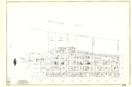
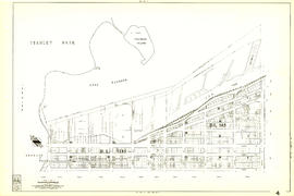
Sheet 31 : Oak Street to Main Street and Sixteenth Avenue to Fourth Avenue and False Creek
- AM1594-MAP 341-: MAP 341.30
- Item
- [1962?], with revisions to May 1966
Part of City of Vancouver Archives technical and cartographic drawing collection
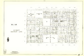
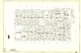
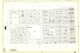
Item is a section showing the area from Oak Street to Main Street and Sixteenth Avenue to Fourth Avenue and False Creek. Includes streets, blocks, lots and legal descriptions, and the locations of parks, schools and railways.
Vancouver (B.C.). Engineering Services