Showing 16 results
Archival description
City of Vancouver, B.C. area map : Heatley Avenue to Boundary Road and Burrard Inlet to 2nd Avenue/5th Avenue

City of Vancouver, B.C. area map : Maple Street to Heatley Avenue and Burrard Inlet to 6th Avenue

City of Vancouver, B.C. area map : Inverness Street to Boundary Road 54th Avenue to the North Arm of the Fraser River

City of Vancouver, B.C. area map : Granville Street to Inverness Street and 6th Avenue to 37th Avenue

City of Vancouver, B.C. area map : Inverness Street to Boundary Road and 2nd Avenue/5th Avenue to 32nd Avenue

City of Vancouver, B.C. area map : Inverness Street to Boundary Road and 32nd Avenue to 54th Avenue

City of Vancouver, B.C. area map : Cartier Street to Inverness Street and 57th Avenue to the North Fork of the North Arm of the Fraser River

City of Vancouver, B.C. area map : Discovery Street to Granville Street and English Bay to King Edward Avenue

City of Vancouver, B.C. area map : Granville Street to Inverness Street and 37th Avenue to 57th Avenue

City of Vancouver, B.C. area map : Wallace Street to Cartier Street and 49th Avenue to the North Arm of the Fraser River

City of Vancouver, B.C. area map : western boundary with University Endowment Lands to Camosun Street and English Bay to 16th Avenue; Musqueam Indian Reserve no. 2

City of Vancouver, B.C. area map : Camosun Street to Granville Street and King Edward Avenue to 49th Avenue
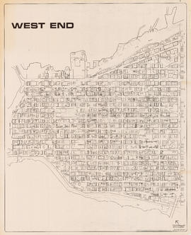
West End

West End

Downtown peninsula

West End local area