- AM1376-F15
- File
- 1925-1971
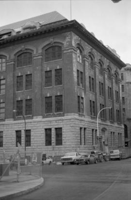
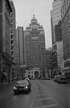
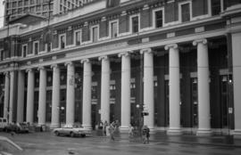
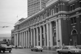
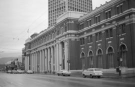
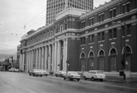
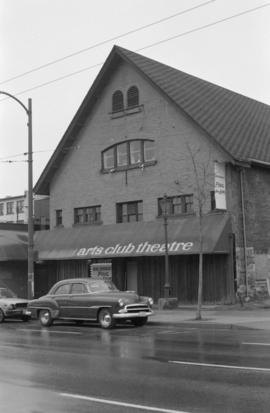
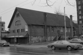
File consists of photographs taken by Cuthbert of streets and buildings in Vancouver's downtown core, the collapse of the Second Narrows Bridge, and exterior views of the former F. Ronald Graham home, 1955-1958, 1967, 1971; as well as photographs collected by Cuthbert including the Burrard Bridge, 1932, group portrait of the Southlands Riding Club for which Cuthbert and his father, Robert G. Cuthbert, were members, 1945, and the the site of his father's veterinary practice at different locations on West 4th Avenue, 1925 - ca. 1964.
Cuthbert, Robert


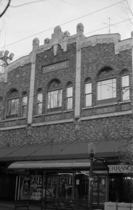

![869-873 Granville Street [revised address 855 Granville Street]](/uploads/r/null/1/7/5/175a9ace0a03626bcb18425a3e6733050c27e65ac6a54d62af0ec1f6ed91aa4b/7ecd500e-6fd2-4444-9dc0-47efd9a0876d-CVA791-1224_142.jpg)