- PUB-: PD 2136b
- Item
- Mar. 9, 1976
Part of City publications collection
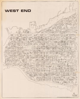
Item is a map showing streets, building footprints, number of storeys, topographic contour lines, and street codes according to a system adopted by the Engineering Department in the mid-1960s.