Vancouver, British Columbia : [urban analysis maps]
Vancouver, British Columbia : [urban analysis maps]

City of Vancouver, British Columbia : zoning diagram

Map of City of Vancouver, British Columbia
Vancouver, B.C. zoning diagram
Vancouver, B.C. zoning diagram

Vancouver South, British Columbia
Existing service stations, retail shopping centres and commercial zoning
Existing service stations, retail shopping centres and commercial zoning
Composite industrial map of the metropolitan area, Lower Mainland, British Columbia
Composite industrial map of the metropolitan area, Lower Mainland, British Columbia

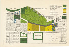
Redevelopment plan for Jericho Department of National Defence lands

Rezoning application map (Point Grey Road)
Sewage, water services and actual occupancy - area bounded by Joyce Street, Boundary Road, Wellington Avenue and Kingsway
Sewage, water services and actual occupancy - area bounded by Joyce Street, Boundary Road, Wellington Avenue and Kingsway
Industrial zoning : changes from 1930-1962
Industrial zoning : changes from 1930-1962
City of Vancouver : generalized future land use in relation to feasibility network
City of Vancouver : generalized future land use in relation to feasibility network

Existing service stations, retail shopping centres and commercial zoning

Proposed zoning : comprehensive redevelopment areas

Key map showing proposed areas for partial and comprehensive redevelopment


