Print preview Close

Showing 289 results

Archival description
Land subdivision
Print preview View:

244 results with digital objects Show results with digital objects

Portions of New Westminster District and Vancouver Island

Item is an economic map which depicts the area of central Vancouver Island made up of the Comox, Nelson, and Newcastle land divisions, as well as portions of the Alberni, Cameron and Nanoose land district. The map includes the inside passage islands between Lasqueti and Sonora Islands, and the coastal portion of the New Westminster land district from Bute Inlet south to the mouth of the north arm of the Fraser River.

Information included on the map includes timber licenses, Indian reservations, other government reserves, District Lots, physical features (not including topography), and municipal boundaries.

Plan of the City of Vancouver

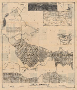
Item is a reduced size copy of the Hermon & Burwell map Plan of the City of Vancouver. This copy is ca. 1/4 the size of the original map. The map shows District Lots, blocks and lots; transportation infrastructure such as bridges and railway and streetcar lines; and the identification of some industries, especially along the various waterfronts.
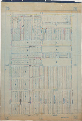
Indexed guide map of the city of Vancouver and suburbs

Part is a map showing district lots, blocks, and boundaries between the City of Vancouver, Point Grey, South Vancouver, Burnaby, New Westminster, and parts of Richmond, North Vancouver and West Vancouver. Concentric circles indicate the distance in miles from the intersection of Main Street and Hastings Street in intervals of 1/2 mile.

City of Vancouver : Canadian Pacific town site

Part contains four maps. The main map shows district lots and block numbers in Vancouver from Vine Street in the west to Boundary Avenue (Glen Drive) in the east and Stanley Park in the north to 9th Avenue (Broadway) in the south. Three smaller maps include an index plan to district lots in Vancouver, South Vancouver, New Westminster, and Burnaby; a world map showing Canadian Pacific mail steamship lines; and an index plan of Vancouver city limits.

Results 1 to 50 of 289