Add to clipboard
Canadian Pacific Railway. Plan of part of branch line from Port Moody. A point on main line C.P.R. to English Bay, B.C.
Add to clipboard
Plan of Greater Vancouver, British Columbia
City of Vancouver : Canadian Pacific town site
Add to clipboard
City of Vancouver : Canadian Pacific town site
Add to clipboard
Vancouver and Northern Railway, 1908
Add to clipboard
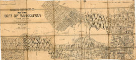
Plan of the City of Vancouver
Add to clipboard
Map of the business portion of the City of Vancouver, British Columbia [early street paving]
Vancouver, B.C., Pacific terminus of the C.P.R.
Add to clipboard
Vancouver, B.C., Pacific terminus of the C.P.R.
Add to clipboard
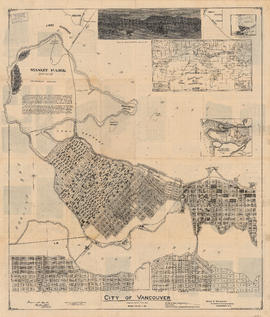
City of Vancouver
Vancouver 1886-1986 : yesterday, gateway to the Pacific : today, crossroads of the world
Add to clipboard
Vancouver 1886-1986 : yesterday, gateway to the Pacific : today, crossroads of the world
Map of Vancouver, B.C. including Hastings Townsite and D.L. 301
Add to clipboard
Map of Vancouver, B.C. including Hastings Townsite and D.L. 301
University Endowment Lands, District Lot 140, group 1, New Westminster District
Add to clipboard
University Endowment Lands, District Lot 140, group 1, New Westminster District
Add to clipboard
Plan of the City of Vancouver, British Columbia
Map of portion of New Westminster District with adjacent islands and part of Vancouver Island, B.C.
Add to clipboard
Map of portion of New Westminster District with adjacent islands and part of Vancouver Island, B.C.
Add to clipboard
Plan of the City of Vancouver, British Columbia
Add to clipboard
Plan of Provincial Government property being a portion of Townsite of Vancouver
Add to clipboard
Plan of part of D.L. 540
Add to clipboard
[Vancouver, B.C. : district lots]
Add to clipboard
Municipality of North Vancouver [Burrard Inlet]
Plan of the City of Vancouver, British Columbia
Add to clipboard
Plan of the City of Vancouver, British Columbia
Add to clipboard
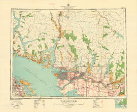
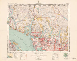
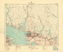
Vancouver
Add to clipboard
Plan of provincial government property being a portion of townsite of Vancouver and sub-division of lot 540, group 1, New Westminster District, B.C., to be sold by public auction at Vancouver, B.C.
Add to clipboard
Plan of part of sub-division of district lot 540, South Vancouver, provincial government property
Add to clipboard
Plan of the City of Vancouver, B.C.
Add to clipboard
Vancouver, British Columbia
Add to clipboard
Vancouver
Add to clipboard
City of Vancouver : Canadian Pacific town site
Add to clipboard
East Vancouver Heights
Add to clipboard
City of Vancouver : Canadian Pacific town site
Add to clipboard
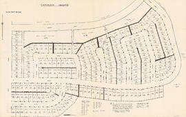
Champlain Heights : D.L. 334, group one, N.W.D.
Add to clipboard
Vest pocket map of Vancouver : map C
Add to clipboard
Vest pocket map of Vancouver : map D
Add to clipboard
Vest pocket map of Vancouver : map B
Add to clipboard
City of Vancouver : residential lots, Area B, Champlain Heights : page 2
Add to clipboard
City of Vancouver : residential lots, Area B, Champlain Heights : page 1
Add to clipboard
Vancouver City : plan of Subdivision of lot 301, Group 1, New Westminster District
Map of West Vancouver and vicinity
Add to clipboard
Map of West Vancouver and vicinity
Plan of Provincial Government property to be bought and sold at Victoria by public auction, Monday, January 18th, 1886
Add to clipboard
Plan of Provincial Government property to be bought and sold at Victoria by public auction, Monday, January 18th, 1886
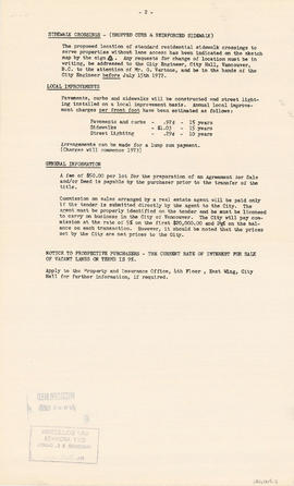
City of Vancouver : Residential lots, Area B, Champlain Heights
Add to clipboard
City of Vancouver : Residential lots, Area B, Champlain Heights
Add to clipboard
Plan of re-subdivision of lots 3 to 14, subn [subdivision] 2 of bk [block] 3. D.L. 391 & 392
Bird's eye view of Vancouver, B.C.
Add to clipboard
Bird's eye view of Vancouver, B.C.


![Map of the business portion of the City of Vancouver, British Columbia [early street paving]](/uploads/r/null/7/1/7187f671d2770050eb87f7f397a10ea92bf0bc593b0a186e3a4bf341b3d26e42/8770145a-b925-4eef-82ac-e397f61a65aa-Map1163_142.jpg)




![[Vancouver, B.C. : district lots]](/uploads/r/null/4/a/4a5c15633319c3754d3aa0cc525470bfebcf5a98ad8caeedf44b777194f300bd/2f055d65-47f7-4679-bb91-66b8f1843d2f-MAP531_142.jpg)
![Municipality of North Vancouver [Burrard Inlet]](/uploads/r/null/6/d/6d0d9a4b75b38672c56aa89a5984fe2d0e6d66be85f6f375cbe8e2fd7ac94a98/577914e1-3de2-478b-a629-5f391731387a-MAP588_142.jpg)








![Plan of re-subdivision of lots 3 to 14, subn [subdivision] 2 of bk [block] 3. D.L. 391 & 392](/uploads/r/null/4/a/4a0ea6aa076433c7bcad0c847f7acb3bb1046f7abf2801c48b97d9ca58f49a73/9bd508e4-c85e-4090-b266-27571c5d4dbc-MAP754_142.jpg)