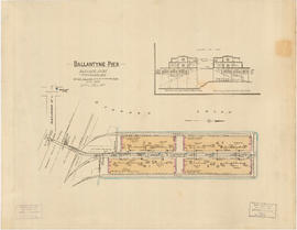
Insurance Plan of Port Coquitlam : sheet 3
- AM1594-: MAP 810-: LEG288.03
- Part
- May 1940
Part of City of Vancouver Archives technical and cartographic drawing collection
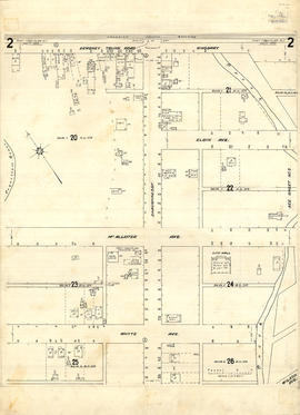
Part contains a section of the insurance plan covering the area bounded by an unnamed creek, Kingsway Avenue, and Atkins Avenue. Map shows legal descriptions, street widths, building dimensions and types (dwelling, office, industrial, other commercial use), names of businesses, and other features of the built environment relevant to insurance claims.


![Granville [fire insurance plan]](/uploads/r/null/f/3/1/f31b2fc3e34f1b2e375aa4d1c6089d069e20e5c43e88dd4a753a0ed961acd9c9/e011f916-304f-4655-9c90-c93af236fcbb-MAP334_142.jpg)