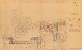
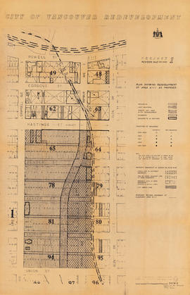
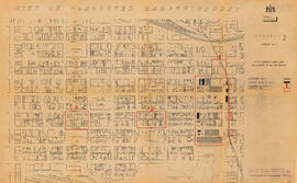
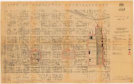
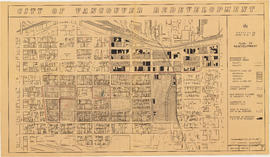
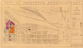
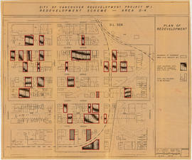
City of Vancouver redevelopment : project 1 : generalized plan of redevelopment
- COV-S305---: LEG1350.09
- Item
- Jul. 12-Aug. 1960
Part of City of Vancouver fonds
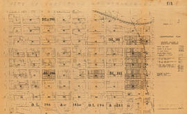
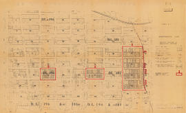
Item is a map showing boundaries of the comprehensive redevelopment plan and the Project 1 clearance areas, and the proposed street system and land use. Base map shows streets and legal addresses for Vancouver from Yew Street to Templeton Drive and Burrard Inlet to 15th Avenue.