- COV-S302--
- File
- [ca. 1950]
Part of City of Vancouver fonds
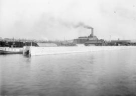
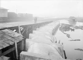
File consists of three identical base maps of the area from Earles Street to Boundary Road and 29th Avenue to 49th Avenue, which have been annotated to show the sewage system, water services system, and types of occupancy in the area bounded by Joyce Street, Boundary Road, Wellington Avenue and Kingsway.
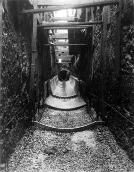

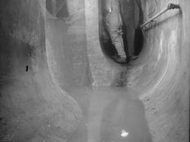
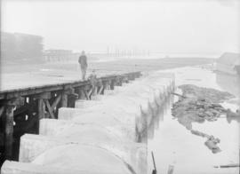
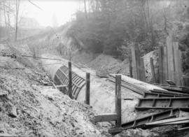
![Paving finish on invert for 5'6" interceptor in [sewage] tunnel at 1st avenue near Vine Street](/uploads/r/null/f/3/f3e44df5584efe0cbaaa2f1dc3c7fecc40289a78b7d00ab17da8ed1baad53bef/2862f8db-a8d7-4aa9-9b33-73956f89ba99-CVA275-7_142.jpg)
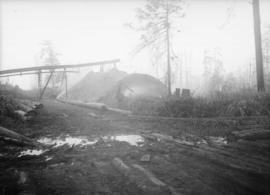
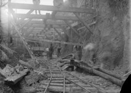
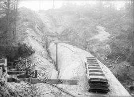
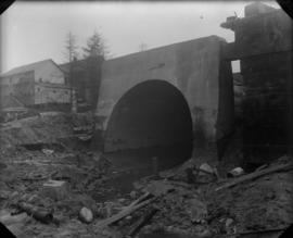
![[Sewage] Trench for 4'6" interceptor on 7th Avenue](/uploads/r/null/3/a/3a06f3b91f9f2903314d032b3849c52f12e163f45cc41586ee0e5718e34fc3b5/36252cee-90ab-4b0c-9752-1c01581b2368-CVA275-8_142.jpg)