Plan of district lot boundaries, City of Vancouver, B.C.
- COV-S303-MAP 343-: MAP 343.01
- Item
- [Dec. 1934?]
Part of City of Vancouver fonds
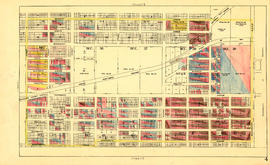
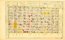
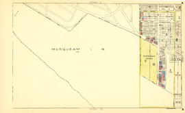
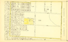
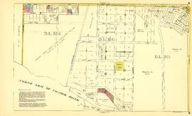
Item is a map of Vancouver showing district lot boundaries.
The map identifies First Nations reserves, the University Endowment Lands, Stanley Park, Old Granville Townsite and Hastings Townsite. On the verso of the map is a legend indicating the colours used on the maps in this file to define areas of tax sale property for sale, no water, street widening - drainage, replotting, reserved school, reserved park, sundry, capital assets (except schools and parks), schools, and parks.
Vancouver (B.C.). Office of the City Engineer
![Map of City of Vancouver, British Columbia [index map]](/uploads/r/null/b/e/be22a39bcaa01b0f0dd6d2209e1cb4ee3e1df2f15c6c663490403764c2eba017/98bf421f-34d4-4017-9cfd-a46b85bfefa8-MAP343_142.jpg)