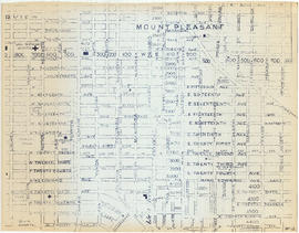
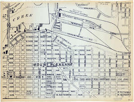
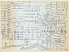
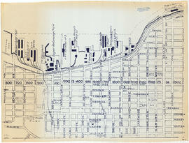
- AM1594-: MAP 584
- Item
- [1973?]
Part of City of Vancouver Archives technical and cartographic drawing collection
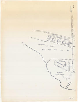
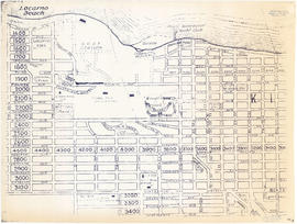
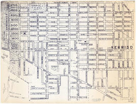
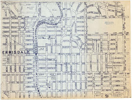
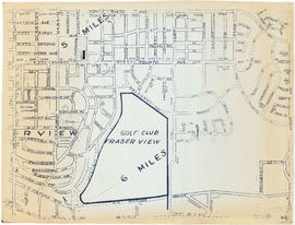
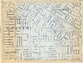
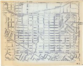
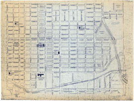
Item is a street map of the City of Vancouver showing streets, schools, hospitals, parks and golf courses. A street index is included. A dial would have been attached at the centre of the map, but the dial has since been removed.