Showing 9 results

Archival description
City of Vancouver Archives technical and cartographic drawing collection Zoning Image
Print preview View:

9 results with digital objects Show results with digital objects

Rezoning application map (Point Grey Road)
Redevelopment plan for Jericho Department of National Defence lands
Development in the western portion of the Lower Mainland region, 1968
Vancouver South, British Columbia
Point Grey, B.C. : district map
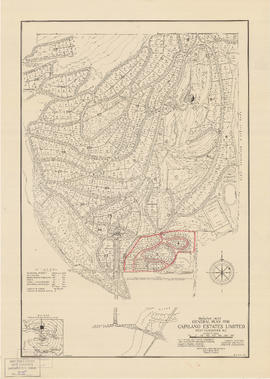
General plan for Capilano Estates Limited
Map of City of Vancouver, British Columbia
City of Vancouver, British Columbia : zoning diagram
City of North Vancouver zone map showing "use" and "set-back" restrictions