The city of Vancouver, British Columbia
- AM1594-: MAP 745
- Item
- 1916
Part of City of Vancouver Archives technical and cartographic drawing collection
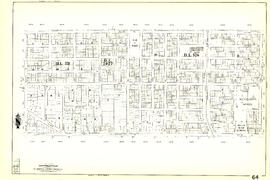
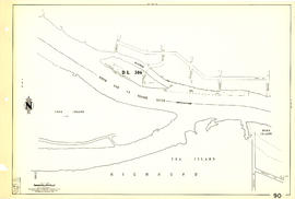
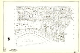
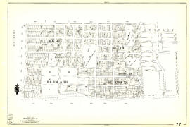
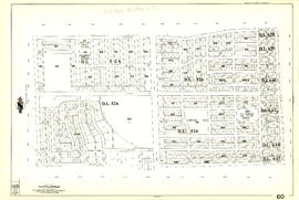
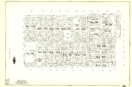
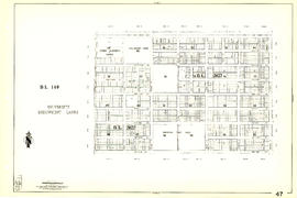
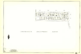
Item is a map showing postal block numbers, streets, railroads, schools, steamship routes, beaches and hospitals in the city of Vancouver. The map has been annotated to show city parks.