- AM1594-: MAP 1153
- Item
- 19--
Part of City of Vancouver Archives technical and cartographic drawing collection
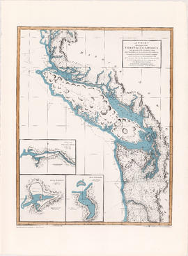
Primary map shows towns, states and territories in North America and Central America. An ancillary map shows the "Hawaiian Group or Sandwich Islands".


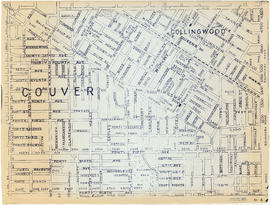
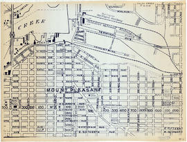
![Map of City of Vancouver [City services locations]](/uploads/r/null/5/7/7/577519f13333b5141f19d58696ae109b192fab0007ff302e15453cab74e21dd3/3a32f9e1-f624-41f7-980d-3b5df4397fb6-MAP225_142.jpg)

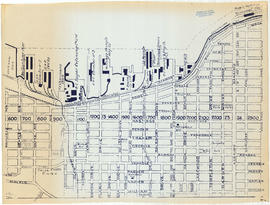
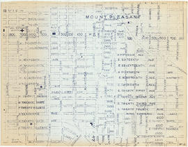
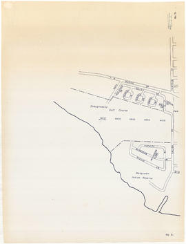
![City of Vancouver [park sites June/80]](/uploads/r/null/9/4/9484add7c4684ea3838e4d00ee8add3ecf85d78d5aa8fe2780cae273e59556a5/bd2464d8-2aa9-4501-aba6-8b3f7d130a42-MAP1032_142.jpg)