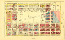
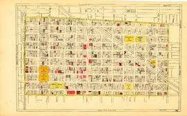
Sheet M : Granville Street to Kersland Drive and Twenty-seventh Avenue to Thirty-eighth Avenue
- AM1594-MAP 779-: MAP 779.37
- Item
- [ca. 1935], with revisions to Nov. 29, 1943
Part of City of Vancouver Archives technical and cartographic drawing collection
Item is a section showing the area from Granville Street to Kersland Drive and Twenty-seventh Avenue to Thirty-eighth Avenue. Includes streets and roads; blocks, lots and legal descriptions; and golf courses, parks and government buildings.
Vancouver (B.C.). Office of the City Engineer


![Map of City of Vancouver, British Columbia [index map]](/uploads/r/null/b/e/be22a39bcaa01b0f0dd6d2209e1cb4ee3e1df2f15c6c663490403764c2eba017/98bf421f-34d4-4017-9cfd-a46b85bfefa8-MAP343_142.jpg)