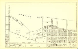
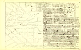
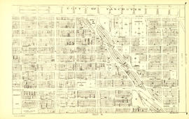
Sheet 23 : Stanley Park to Granville Street and Robson Street to False Creek
- AM1594-MAP 779-: MAP 779.25
- Item
- 1945
Part of City of Vancouver Archives technical and cartographic drawing collection
Item is a section showing the area from Stanley Park to Granville Street and Robson Street to False Creek. Includes streets, roads and railways; blocks, lots and legal descriptions; as well as parks, schools, hospitals and churches. Shows the Burrard Bridge and C.P.R. property.
Vancouver (B.C.). Office of the City Engineer






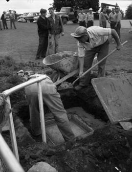
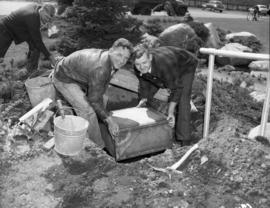

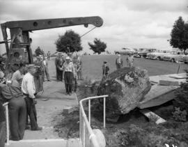
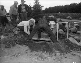
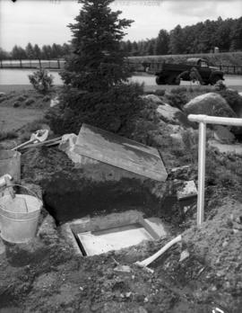

![Q[ueen] E[lizabeth] Park](/uploads/r/null/3/f/7/3f7aa4f024e59853e278a3df67c920ec2dbdd874d4e177adaba509222c701825/6d62c3b0-7b2c-48ba-a335-c91895fc33a6-CVA1187-94_142.jpg)
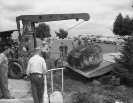

![Q[ueen] E[lizabeth] Park](/uploads/r/null/3/1/0/3103bb769143b49453a87d85f267c970095f6daa160391d3d8ea00cfcee7cde0/09b90c03-fd8b-458b-84a2-22ca0f9e4ef7-CVA1187-97_142.jpg)
![Q[ueen] E[lizabeth] Park](/uploads/r/null/e/e/b/eeb147085940a43cdcc66b0d50b13e19fc9529b419dae6a008bdc1a23d9f9479/71ae0db5-9793-491f-8d19-e6daa8e0bb22-CVA1187-98_142.jpg)
![Q[ueen] E[lizabeth] Park](/uploads/r/null/f/8/0/f80071c2586e6a81400b1a11d6b5f435aba681a2ae51306797b660038f4224a0/411f3fb3-9643-4150-9e19-ea24a635baba-CVA1187-99_142.jpg)
![Q[ueen] E[lizabeth] Park](/uploads/r/null/5/a/a/5aaf354125553ccd5e1de0813fe114c288cfdfedcbc75613959c9f0d68f38f35/49b749b1-c156-4674-8f58-729e4310f0b5-CVA1187-100_142.jpg)
![Q[ueen] E[lizabeth] Park](/uploads/r/null/9/c/7/9c7a43f55d3d0810f579d7044e11adb10cc72b62c6b9bac2add6a65e38a56f75/e2b56a2a-f3ec-47a4-97d8-2a3973897511-CVA1187-101_142.jpg)
![Q[ueen] E[lizabeth] Park](/uploads/r/null/6/8/3/683bd4cf273c217836a62fd10636b3dc890779569313f2d8cc81b44d8ff0bf39/b9e5be8a-53ce-4fe9-bd21-8816f444267b-CVA1187-102_142.jpg)
![Q[ueen] E[lizabeth] Park](/uploads/r/null/0/3/4/0341c7188c1fee2cd8d81b21d2b0d8a199e7cb50c08a843346e2d63961a6bf5d/b1b63bfe-0cb0-4a74-b4b7-05fd03631a37-CVA1187-103_142.jpg)
![Q[ueen] E[lizabeth] Park](/uploads/r/null/a/a/7/aa7b5de4a496a4361547fbc2bf4873af97ae50546ca945b69fede87963c9f1ee/ab594034-1dcc-4421-aa32-528f015e5011-CVA1187-104_142.jpg)
![Q[ueen] E[lizabeth] Park](/uploads/r/null/0/0/b/00be6d546fd18623b889d50c756e7d06386e326a820ba7b9d11dfb145bf5b48f/69048827-ffd7-4c99-98a2-048dbbc3ecaa-CVA1187-105_142.jpg)
![Q[ueen] E[lizabeth] Park](/uploads/r/null/f/4/f/f4fb550647fd647b2bd6cae229aa9d8b16ff2b0041a2172531b37c73b5e0c254/076121fe-5258-4c72-aa07-6a55ae1e0999-CVA1187-106_142.jpg)
![Q[ueen] E[lizabeth] Park](/uploads/r/null/7/5/3/753a10963096c50ec24b73c8af77bb8effd1519c45a8b3ddfb8bec8612165af8/4d811b05-a3bf-4581-ae41-dec04c402984-CVA1187-107_142.jpg)
![Q[ueen] E[lizabeth] Park](/uploads/r/null/8/d/2/8d29d888130833a84041cd30bafe433e21ad470aedb69d4d389905f2c44a4370/71dda3e1-a7b2-433e-a5e5-e2e42b721fdc-CVA1187-108_142.jpg)
![Q[ueen] E[lizabeth] Park](/uploads/r/null/8/5/5/855ee4b32fd529f74913913ee9cb2f428fed7666081e7ddff7096ae50bb18de9/9281196e-2511-46fd-b01d-f7cee797a577-CVA1187-109_142.jpg)
![Q[ueen] E[lizabeth] Park](/uploads/r/null/a/9/4/a94aecb86688b5bb55988b44b94b96386ee6832a598cc67a4745e2710ce297f1/e6f9ebe9-ce56-46f5-a1c7-5e256d14a91e-CVA1187-110_142.jpg)
![Q[ueen] E[lizabeth] Park](/uploads/r/null/5/2/b/52bd9c1451478bd54a13fc3ec9749b5e6a1931803a1ee78d8aa910b92f2d4a4d/28e86d30-bf41-4c74-801e-0014f36b56d2-CVA1187-111_142.jpg)
![Q[ueen] E[lizabeth] Park](/uploads/r/null/a/c/d/acd8854613c2cfad01eeee88b56c2d2f431e2200f2ccf351ddeb91c21a5dbe39/5d66542a-50d1-4d95-980c-6448fd2b1fd5-CVA1187-112_142.jpg)

![Q[ueen] E[lizabeth] Park](/uploads/r/null/b/1/7/b172b98142016001597649e68760ee921ad4c672318d826c2ed33b3c24ed6681/85cb4881-634a-455a-83c8-6b61f6d571ac-CVA1187-114_142.jpg)


