![[Sheet 4 : Chilco Street to Burrard Street and Robson Street to Deadmans Island]](/uploads/r/null/9/4/9482209e02b8dc04c79ef404276e1d40bcbb4fab0330b4aa744e352ae9440921/5597738a-70b2-4cfc-a802-6a076987c33d-MAP339_142.jpg)
[Sheet 4 : Chilco Street to Burrard Street and Robson Street to Deadmans Island]
- AM1594-MAP 339-: MAP 339.03
- Item
- 1970
Part of City of Vancouver Archives technical and cartographic drawing collection
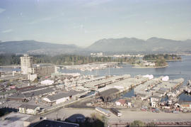
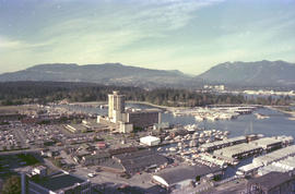
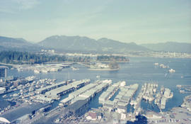
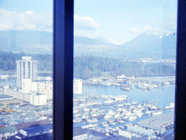
Item is a sectional map of a portion of Vancouver showing the area from Chilco Street to Burrard Street and Robson Street to Deadmans Island. Includes streets, blocks, lots and legal descriptions, as well as parks and the location of some businesses and organizations along the waterfront.