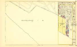
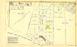
Sheet B : Imperial Street to Trutch Street and waterfront to Fourth Avenue
- COV-S303-MAP 343-: MAP 343.27
- Item
- [ca. 1925], with revisions to Nov. 23, 1943
Part of City of Vancouver fonds
Item is a section showing the area from Imperial Street to Trutch Street and waterfront to Fourth Avenue. Includes streets, roads and sewers; blocks, lots and legal descriptions; and parks and schools. Section shows Jericho Air Station and crown leases. Map is annotated to show tax sale property for sale, property with no water, street widening and drainage, replotting, reserved land for schools, reserved land for parks, sundry land, capital assets not including schools and parks, schools, and parks, as applicable.
Vancouver (B.C.). Office of the City Engineer