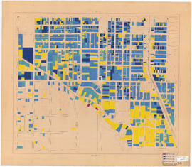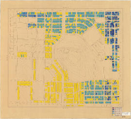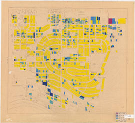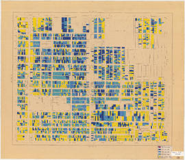
Information on transit and buildings in Vancouver
- AM738-S1-: MAP 823-: LEG1248.2
- Part
- [194-]
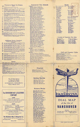
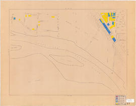
Part is the text side of a street map of Vancouver. Part also includes text advertisitng the products and services of the Dominion Map and Blueprint Company.


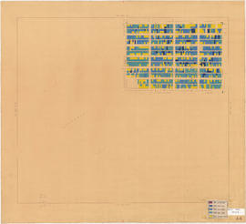
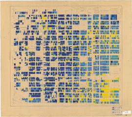


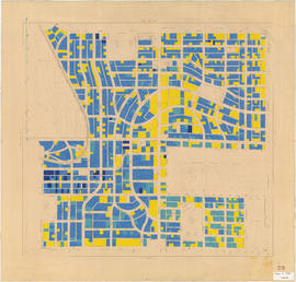
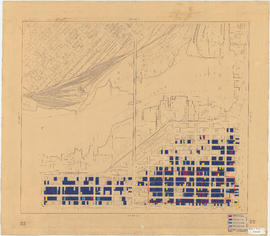
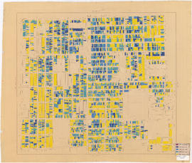
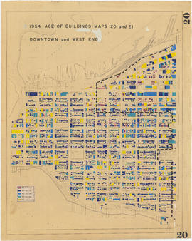
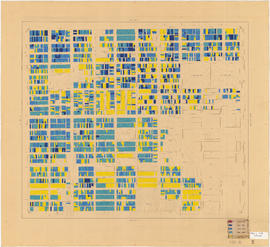
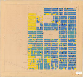
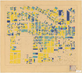
![Age of buildings : Slocan Street to Boundary Road and Wall Street/East Street [Edinburgh Street] ...](/uploads/r/null/e/9/2/e921e2151aed2f9a2fd506bbc7e781632de17633f5f2f1a410764a15e68501b4/01454f17-8dfb-417d-9fd9-0093f19fcd56-LEG1221_142.jpg)