
City of Vancouver, British Columbia : zoning diagram
- AM1594-: MAP 209-: LEG1325.1
- Part
- 1931
Part of City of Vancouver Archives technical and cartographic drawing collection
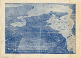
Part contains a zoning map showing city streets, residential, apartment, commercial and industrial districts, as well as parkways and open spaces. Concentric circles spaced a mile apart on the map emanate from a point in downtown Vancouver.


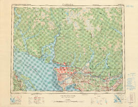


![City of Vancouver surrounding [sic] and municipalities including City of New Westminster](/uploads/r/null/8/9/1/8919931915a624a5abd2e5d2953118fdd853654343ce31193f00d341d482bf39/fd6eb299-3e6a-498e-bfd9-62a3279a8861-LEG1329_142.jpg)


