- AM1594-: MAP 1186
- Item
- Aug. 1976
Part of City of Vancouver Archives technical and cartographic drawing collection
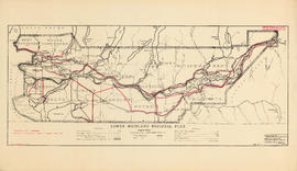
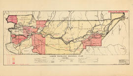
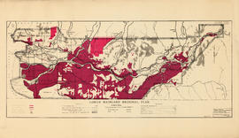
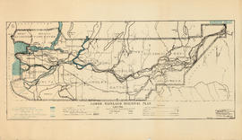
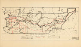
Item is a map made as a composite of scaled aerial photographs of the Lower Mainland. The photograph's boundaries are: the westernmost extent of the area covered is Passage Island in Horseshoe Bay; the easternmost is 216st Street, Maple Ridge; the northernmost is Lynn Headwaters Regional Park; and the southernmost is Drayton Harbour, Surrey.
McEllanney Surveying and Engineering