Vancouver sheet, British Columbia
- AM1594-: MAP 94
- Item
- 1928
Part of City of Vancouver Archives technical and cartographic drawing collection
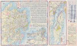
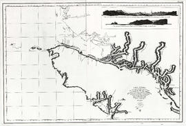
Item is a map of Vancouver Island and the southwest portion of mainland British Columbia from Bella Coola to Clinton, and south to New Westminster. Map shows geological, land district, and park boundaries; locations of mining recording offices and sub-offices; elevations in feet above sea level; mineral occurrences; and the development of geological formations by era.