
Dial map of Greater Vancouver and suburbs

Dial map of Greater Vancouver and suburbs

Map of New Westminster and Burnaby with street directory indicated by dial : map cover and street index

Dial map of New Westminster and Burnaby

Town-site of Hastings
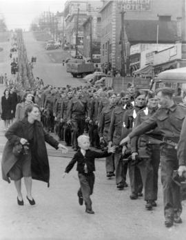
"Wait for me Daddy"

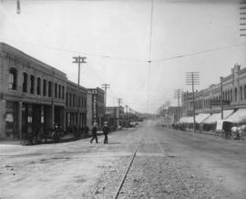
Columbia Street After the Fire, New Westminster
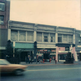
![[View of Columbia Street]](/uploads/r/null/5/4/54eced867db69ed084037b81efedfe66e18b836275808398e6d7d8df2b8e00f5/21889ce7-573a-4dd0-a27f-769cd8194f18-A61052_142.jpg)
[View of Columbia Street]
![[View of 6th Street near Queens Avenue looking south toward Royal Avenue]](/uploads/r/null/b/1/b160f7797343556b798a72318857b08502b193549f365d8e89ebdf0249172387/6353b72d-7ccd-45de-b0dc-0f034f9211f6-A61044_142.jpg)
[View of 6th Street near Queens Avenue looking south toward Royal Avenue]

Dial map of Greater Vancouver and suburbs
New Westminster, B.C. Columbia Street

New Westminster, B.C.

[View of Columbia Street, New Westminster, decorated with banners and flags, looking east from 8th Street]

[Columbia Street, New Westminster, decorated with banners and flags for visit of Duke and Duchess of Cornwall and York]

New Westminster B.C.

Map of Fraser Valley

Map of Fraser Valley ; Street map of New Westminster ; Map of Greater Vancouver transit lines

Map of downtown section of Vancouver ; Diagram of New Westminster, B.C., downtown section

Dial map of Greater Vancouver and suburbs

Map of Burnaby and New Westminster, British Columbia

Dial map of Greater Vancouver and suburbs

Transit detail inset maps ; Street index ; Transit and tourist information
![Columbia [Street] and 4th [Street] east side incoming](/uploads/r/null/0/8/0877a01fcd6e325812d187db25cd79278a2a59680799f44283247f8bd6a0a033/2f7f3ff3-9772-4a56-96cd-8ec58ea50716-A20213_142.jpg)
Columbia [Street] and 4th [Street] east side incoming

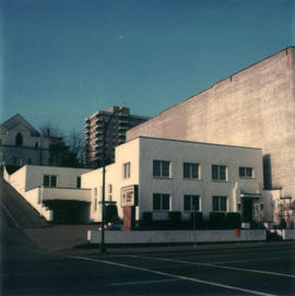
416 Columbia Street
219 Carnarvon Street

202 Carnarvon Street

620 Carnarvon Street
337 Columbia Street
233 Columbia Street

317-319 Columbia Street

305 Columbia Street
318-332 Columbia Street

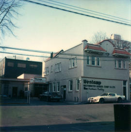
625 Columbia Street

425 Columbia Street

102/120 Agnes Street
533-537 Clarkson Street

330 Columbia Street
223 Columbia Street

3 Carnarvon Street

3 Columbia Street
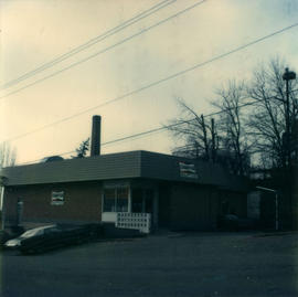
805 Agnes Street
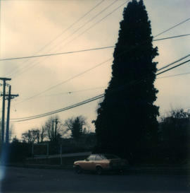
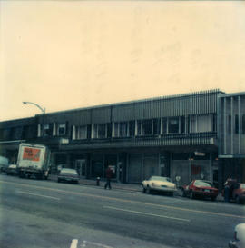
611-627 Agnes Street
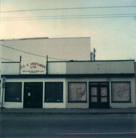
523-525 Agnes Street
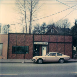
513-515 Agnes Street
338 Agnes Street

210 Agnes Street
612-618 Columbia Street
207 Columbia Street

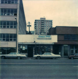
430 Columbia Street
210 Carnarvon Street