Showing 22 results
Archival description21 results with digital objects Show results with digital objects
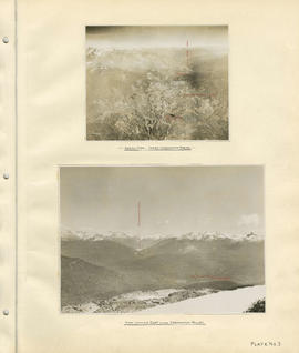
Aerial view - Lower Cheakamus Region and View looking east across Cheakamus Valley

Cheakamus power survey for City of Vancouver 1930-1931. General plan and profile

Cheakamus power survey for City of Vancouver 1930-1931. Mass curves showing Cheakamus River discharge

Cheakamus power survey for City of Vancouver 1930-1931. Plan showing proposed development at Cheakamus Lake

Cheakamus power survey for City of Vancouver 1930-1931. Plan showing proposed development near Mile 19, P.G.E. (Pacific Great Eastern) Railway

Cheakamus power survey for City of Vancouver 1930-1931. Plan showing proposed diversion works near Mile 19, P.G.E. (Pacific Great Eastern) Railway

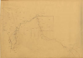
Cheakamus power survey for City of Vancouver 1930-1931. Plan showing topography southward along a line from Cheakamus River
Cheakamus power survey for City of Vancouver 1930-1931. Topographical plan from Alpha Lake to Cheakamus River
Cheakamus River
Cheakamus River
Cheakamus River. Brandywine Creek to Cheakamus Lake

Cheakamus River valley with possible dam location

Cheakamus River with proposed dam site at McGuire

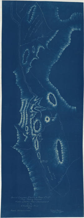
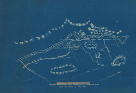
Contour map shewing proposed location of flume, reservoir and power plant Cheakamus River, B.C.

Contour map shewing proposed location of flume, reservoir and power plant Cheakamus River, B.C.

Garibaldi Lake, Daisy Lake and Cheakamus River

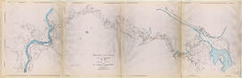
Hydro electric survey. Cheakamus River from Squamish River to Brandywine Creek

Junction of Cheakamus and Squamish Rivers and Cheakamus Canyon
Plan shewing proposed hydro-electric power development on the Cheakamus River B.C.
Proposed hydro-electric power development on Cheakamus River
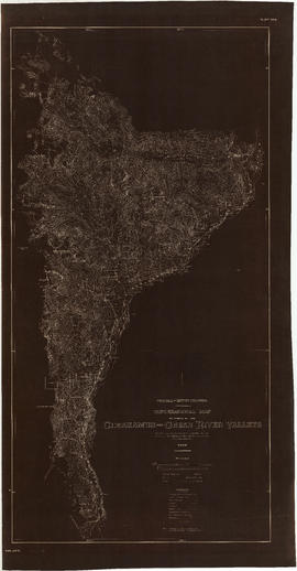
Topographical map of parts of the Cheakamus and Green River valleys

Topographical map of parts of the Cheakamus and Green River Valleys
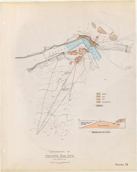
Topography of proposed dam site