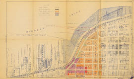
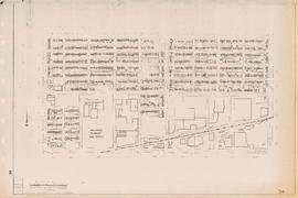
Bird's eye view of Vancouver, B.C.
- AM1594-: MAP 376
- Item
- [1957?]
Part of City of Vancouver Archives technical and cartographic drawing collection
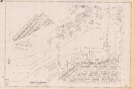
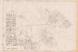
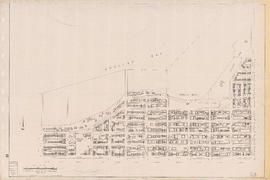
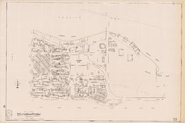
Item is a map sheet containing two maps: an aerial rendering of Vancouver looking westward, and a map of District Lot 69, showing blocks and lots. The map may have been published in association with real estate sales.
Angell Engraving Company
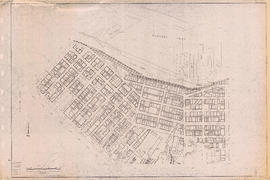
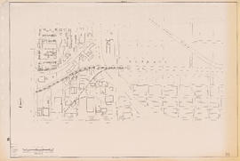
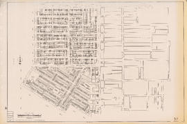
![Plan of re-subdivision of lots 3 to 14, subn [subdivision] 2 of bk [block] 3. D.L. 391 & 392](/uploads/r/null/4/a/4a0ea6aa076433c7bcad0c847f7acb3bb1046f7abf2801c48b97d9ca58f49a73/9bd508e4-c85e-4090-b266-27571c5d4dbc-MAP754_142.jpg)