Item is a documentary film about the neighbourhood of Strathcona, its history, and a project to promote the beautification/renovation of many of the front porches of the neighbourhood.
The film is divided into four sections. The first section (The Strathcona neighbourhood) is a history of the neighbourhood, and discusses a twenty year renovation ban and the effects it had on the community. It includes footage of many Strathcona houses and porches before the renovations, street scenes of Chinatown and the general neighbourhood, Strathcona community garden, Strathcona School, local community centre, Buddhist temple, East Pender Street, the Strathcona Ukrainian Hall, Hawks Avenue, Keefer Street, and East Georgia Street. The second section (History and process) is a history of the Porch project and an explanation of how it works. It includes an interview with Nora Kelly, from the Strathcona Residents Association, in which she discusses the history of the project, and a short clip from the news program Chinatown Today (1994-04-24). The third section (Getting down to work) is a review of the project results. It discusses the conditions for selecting houses appropriate for the project, how the funding worked, and the execution of the renovations. These subjects are illustrated with footage of porches before renovation, during demolition, and during the renovation process. It also includes interviews about the renovation with homeowner Paul Burke, Judy Oberlander (Porch Project Heritage Planner), and several unnamed contractors. The fourth section (Results) discusses the outcomes of the renovation efforts. It includes footage of completed porch restorations and an interview with Paul Burke about the effect of the restoration on his home.


![I.L.A. [International Longshoreman's Association] Baseball Team - City League Champions - 1920](/uploads/r/null/e/7/e754cdd9294aa90fb1f723eb8c894dcaefd63a16a5ff63e06d3cf8231c97179c/98759aac-4ddf-48bd-8795-c0077e0bbc6e-A16747_142.jpg)
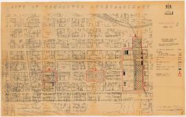
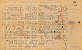
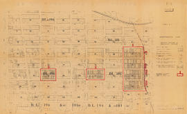
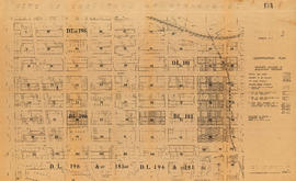
![Streets [19 of 139]](/uploads/r/null/e/9/e96230d9034940b1517a44b58d79d32491692a5e61950e8e82f4b6e62c1f5cba/ad724b71-1af8-4b87-ab3e-0ba48b4077d8-A64207_142.jpg)