- AM1376-: 2019-053.1
- Item
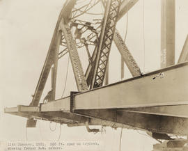
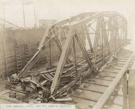
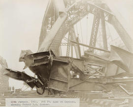
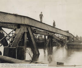
- 1901
Narrow your results by:
- All
- City of Vancouver Archives photograph collection, 294 results
- City of Vancouver Archives technical and cartographic drawing collection, 41 results
- Vancouver Centennial Commission fonds, 15 results
- City of Vancouver Archives postcard collection, 7 results
- Major Matthews collection, 7 results
- Stuart Thomson fonds, 4 results
- William Orson Banfield fonds, 4 results
- City of Vancouver fonds, 2 results
- City of Vancouver Archives library collection, 2 results
- Privy Council (Canada) collection, 1 results
- All
- Matthews, James Skitt, Major, 2 results
- British Columbia Underwriters' Association, 1 results
- Greater Vancouver Water District, 1 results
- National Harbours Board, 1 results
- Coquitlam (B.C.). Engineer's Office, 1 results
- United Kingdom. Admiralty, 1 results
- New Westminster (B.C.). Department of Public Works, 1 results
- Foundation of Canada Engineering Corporation, 1 results
- Kilmer and Holland, Engineers and Surveyors, 1 results
- All
- Wardlaw, J., 30 results
- Thomson, Stuart, 11 results
- Frank, Leonard Juda, 11 results
- United Kingdom. Admiralty, 7 results
- Canada. Geological Survey, 6 results
- United Kingdom. Hydrographic Office, 5 results
- Canada. Canadian Hydrographic Service, 5 results
- Banfield, William Orson, 4 results
- Vancouver Harbour Commissioners, 3 results
- British Columbia. Department of Lands, 2 results
- All
- Burrard Inlet (B.C.), 379 results
- Vancouver (B.C.), 20 results
- Fraser River (B.C.), 7 results
- Vancouver Harbour (B.C.), 6 results
- North Vancouver (B.C.), 5 results
- Lower Mainland (B.C.), 5 results
- Howe Sound (B.C.), 4 results
- Port Moody (B.C.), 4 results
- Coal Harbour (B.C.), 4 results
- False Creek (Vancouver, B.C.), 4 results