Map shows Hastings Town-site, Granville Town-site, Burnaby, and the City of New Westminster. Map also shows the Road from Granville and the False Creek Trail, as well as the names of places and soil types found along these roads. Other places and structures noted include Burrard Inlet, Coal Harbour (Coal Harbor on map), False Creek, False Creek Bridge, Burnaby Lake, Fraser River, New Westminster and Burrard Inlet Road, Douglas Road, Edinburgh Street, Columbia Street, Richards Street, and the New Westminster Cemetery. Two notes on map read "Plan to accompany Report of 1st May 1883, Joseph Hunter" and "Memo: Mr. Ross will place [?] this map to the [Engs.] Office Victoria [?]." 14T3 Roads & Trails is printed on the side of the map.

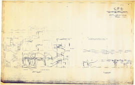
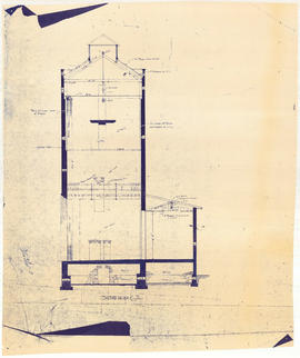
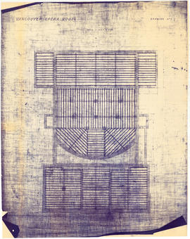
![CPR Vancouver Opera House elevation to hotel [north]](/uploads/r/null/f/d/3/fd36e9463c257d654596ac0175eda976e793e46e728364441848badc37ba1faf/cd3849c0-8d60-4452-a85c-b4457d6509b1-1989-20_142.jpg)
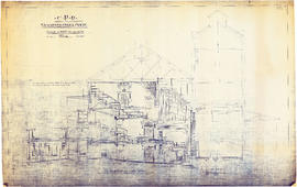
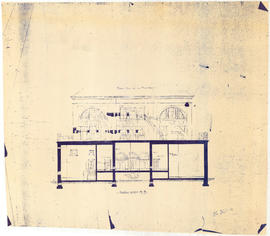
![CPR Vancouver Opera House elevation to Farrell apartment building [south]](/uploads/r/null/a/5/d/a5d0b51f5ebdb12f52ebe4d7b4789fdeba6d42de6c545267e9cc245f6f760007/f58c68f3-d53f-4433-b4a9-9e9510f429c5-1989-20_142.jpg)


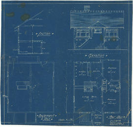
![Parsons [?] house, North Vancouver](/uploads/r/null/4/d/1/4d1a653fefee3c4d6bdc3e7b5e7b6a293edde702a9d6ec8cfa2f60164ee137df/f0773310-1258-409a-85b8-b5f79a6a8dc9-1987-017_142.jpg)

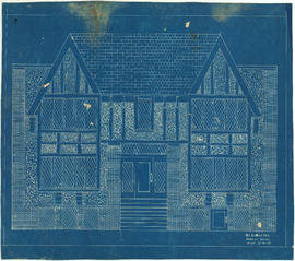


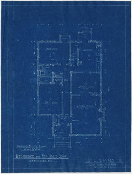
![Bungalow for C. [Cline] Singleton, Vancouver, B.C.](/uploads/r/null/0/e/8/0e8f1fe401cffa704dd33be7ad6a0d055f7ec516ba1d63dd924193e18c708652/396919ff-1214-495c-861e-1b7aa2dada84-1987-017_142.jpg)


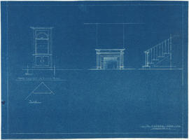
![Postal Station 3100 Main St [Heritage Hall]](/uploads/r/null/8/b/1/8b139679564262142590dd81b2c5491d7848ce28eca05e97fda33d4c3a926ab1/f091fba5-f25a-4be3-8b2b-1d8c22b37442-1978-215_142.jpg)
![Vancouver, B.C. Plan showing location of water pipes, hydrants, etc. [Kitsilano]](/uploads/r/null/0/e/0e33cc4d2f081f551fe6919d35ea37236a6e237a2f5927834d275556995fccfc/0f6ac1ff-8457-41f3-a386-26328c66a4b0-MAP72_142.jpg)


