- AM1487-F01-: MI-592
- Item
- 196-
Part of City of Vancouver Archives sound recording and moving image collection
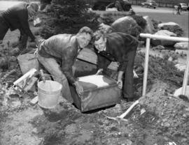
Film shows children and adults roasting wieners over a fire and eating hotdogs outside a small house or cabin. Scenes of children playing on the beach and in the sand at Hadden Park.
Gabriel, Margaret (nee Kruger)


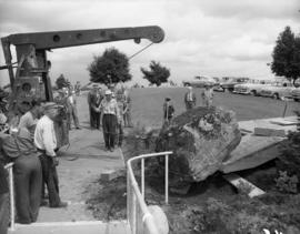

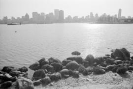
![Q[ueen] E[lizabeth] Park](/uploads/r/null/3/f/7/3f7aa4f024e59853e278a3df67c920ec2dbdd874d4e177adaba509222c701825/6d62c3b0-7b2c-48ba-a335-c91895fc33a6-CVA1187-94_142.jpg)

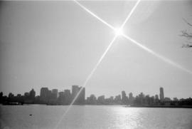
![Q[ueen] E[lizabeth] Park](/uploads/r/null/f/8/0/f80071c2586e6a81400b1a11d6b5f435aba681a2ae51306797b660038f4224a0/411f3fb3-9643-4150-9e19-ea24a635baba-CVA1187-99_142.jpg)
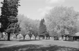
![Q[ueen] E[lizabeth] Park](/uploads/r/null/6/8/3/683bd4cf273c217836a62fd10636b3dc890779569313f2d8cc81b44d8ff0bf39/b9e5be8a-53ce-4fe9-bd21-8816f444267b-CVA1187-102_142.jpg)
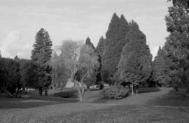
![Q[ueen] E[lizabeth] Park](/uploads/r/null/0/3/4/0341c7188c1fee2cd8d81b21d2b0d8a199e7cb50c08a843346e2d63961a6bf5d/b1b63bfe-0cb0-4a74-b4b7-05fd03631a37-CVA1187-103_142.jpg)
![Q[ueen] E[lizabeth] Park](/uploads/r/null/8/d/2/8d29d888130833a84041cd30bafe433e21ad470aedb69d4d389905f2c44a4370/71dda3e1-a7b2-433e-a5e5-e2e42b721fdc-CVA1187-108_142.jpg)